
Sentinel-2 False Colour Landscapes
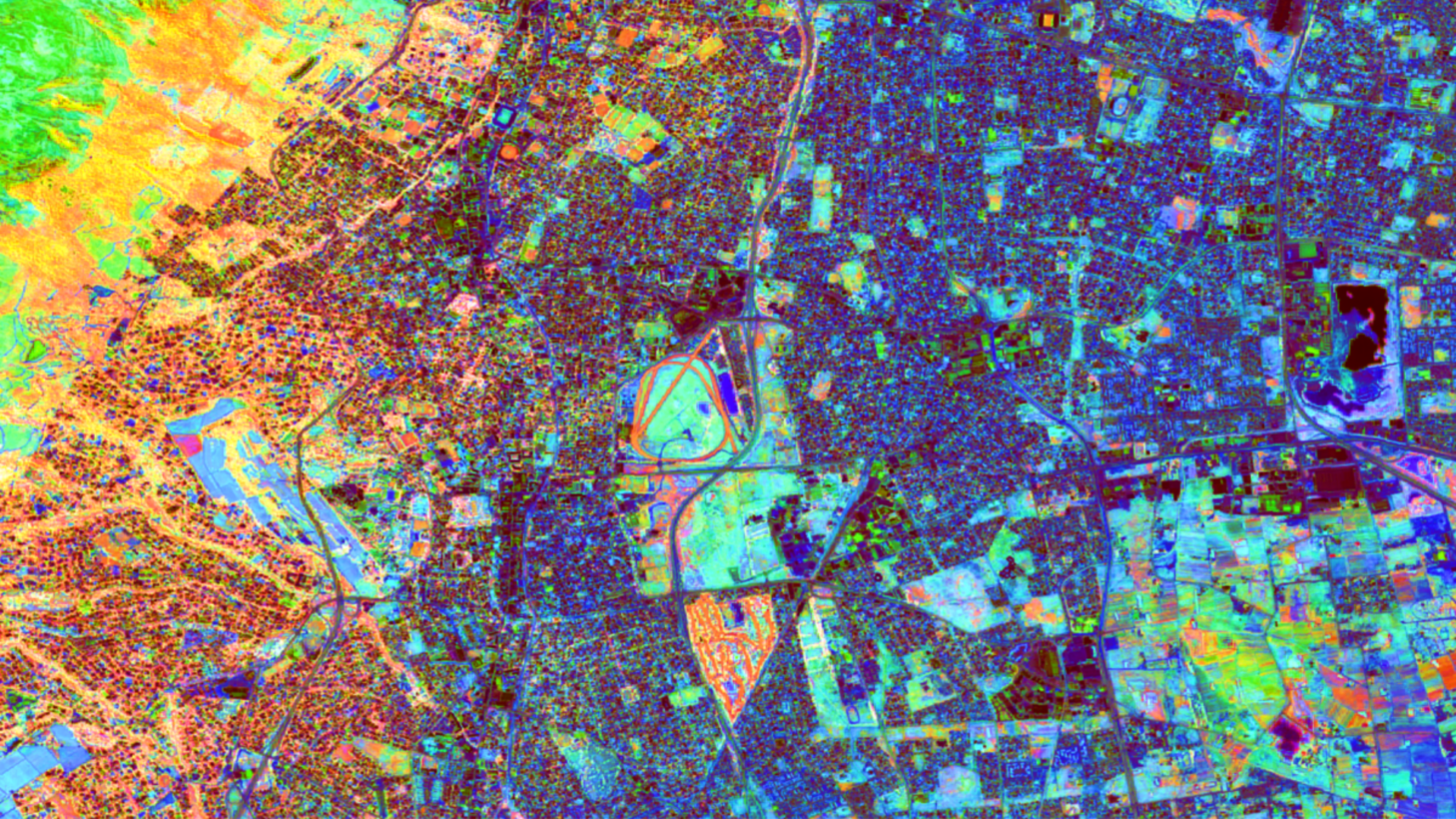
Umvoto uses Sentinel-2 False Colour Composite imagery to map geology, vegetation, and water resources. Explore six landscapes featured on our Muizenberg wall.
 Edward Wise
Umvoto uses Sentinel-2 False Colour Composite imagery to map geology, vegetation, and water resources. Explore six landscapes featured on our Muizenberg wall.

Where there’s smoke, there is fire… literally if you are in any part of the Western Cape during summer. Smoke travels far, making the air hazy and stink of whatever is burning. If you are close enough, your eyes and lungs will burn. Smoke, the evidence of fire, is there but the whereabouts of the…

One of the challenges of processing and analysing satellite imagery is downloading, processing, and storing of enough imagery to have adequate spatial and temporal coverage to create a product that is useful to Geologists, such as this false colour composite (FCC) of Eritrea.
