Letter from Umvoto’s Managing Director

As quoted by Michael Altshuler, “The bad news is time flies. The good news is you are the pilot”, and how true this has been for 2025. The “Umvoto time travel” has been another year of solid performance as we piloted our journey across all time zones.
As we head into the landing strip of the year end break, I would like to reflect on some of the highlights of 2025 as we continued to be professionals at work who are so passionate about supporting our underlying focus of seeking to deliver earth science-based research and consulting services focusing on environmentally and socially sustainable solutions.
As highlighted last year, I continue to be in awe of the professional and energetic staffing at Umvoto and while we continue to attract new interns, our staffing remains stable as they grow in statue and experience. Our expansion into drone image capture linked with the work of our data analysis is creating further enhancements to our modelling and GIS capacity. We look forward to implementing the hardware and database management system upgrade in support of our strategic goal of “To invest in innovation through new technologies in monitoring, data analysis and predictive modelling”.
Umvoto has a reputation earned over 30 years for a rigorously scientific approach, providing innovative solutions to challenges and a commitment to the environment. Capital investments in hardware and software products during 2025 have expanded our service products across the hydrological cycle while maintaining our core brand around hydrogeological excellence. Umvoto’s extended capabilities in “Holistic Sustainability” will encompass all our operational sectors and required geographical reach, based on existing and developing partnerships with entities who share our values.
Once we have safely landed at the end of our journey for the year, we wish all our staff and our clients a safe and restful break over the festive season. Thank you for joining Umvoto on our flight for this year as we look forward to the take off for 2026.
Best Regards

Managing Director
HIGHLIGHTS
2025 has been another prosperous and fulfilling year at Umvoto, with long-term projects continuing and new projects and partnerships beginning. Fieldwork continued across numerous projects which allowed staff to experience the joys of nature while undertaking scientific research.
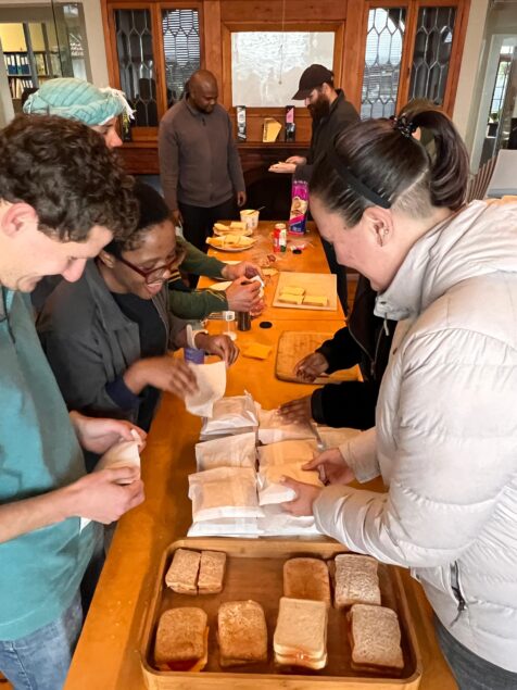
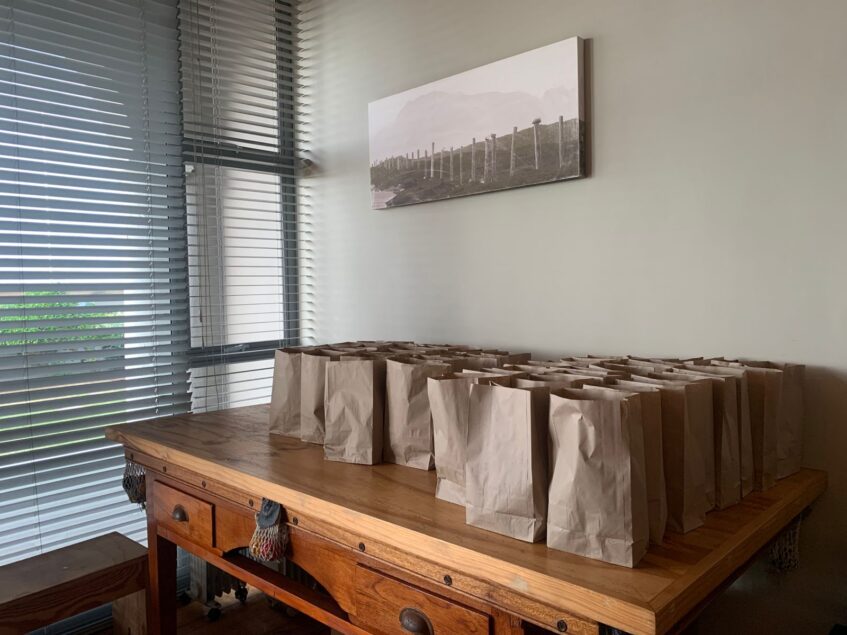
In honour of Mandela Day, and in collaboration with The Umvoto Foundation (TUF) and the Groundwater Division (GWD), Umvoto visited HOKISA children’s home to educate children on the water cycle. The children were gifted sandwiches and individualised gifts, brightening their day.

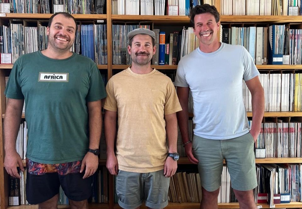
David McGibbon (middle), Jannie Weitz (right), and Kobus Prinsloo (left) participated in the annual Movember tradition where moustaches are grown during the month of November to raise awareness for men’s mental and physical health issues. The Umvoto team managed to raise $125 for the cause through their moustache growing efforts. Jannie won best moustache this year with his salt and pepper caterpillar.
WELCOME
Umvoto welcomed a new staff member to the team: Olga Guseva (Data Analyst). The 2025 internship programme continued in January, with two new interns joining Umvoto for six months. Welcome Rabia Manjoo and Andrea Hoppé! Rabia was offered a fulltime position and Andrea’s internship was extended for another six months after which time she was also offered a fulltime position.

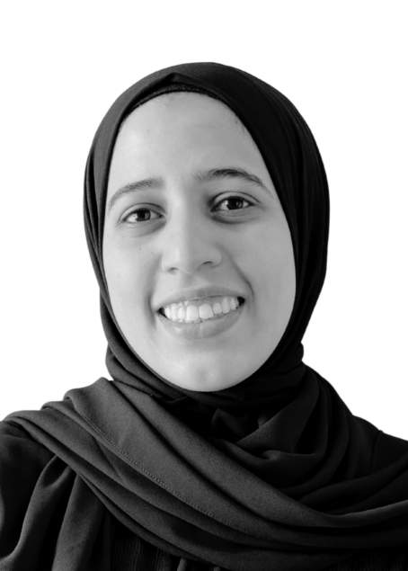
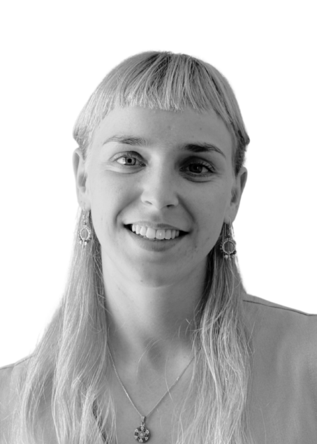
Congratulations to the following staff who were promoted this year: Aqeelah Benjamin and Rabia Manjoo from Intern to Junior Geospatial Analyst; Anele Matsebula from Intern to Junior Geologist; Andrea Hoppé from Intern to Junior Ecologist; Khutjo Diphofe and Siyabulela Mafilika from Junior Hydrogeologist to Hydrogeologist; Keanan Woolf from Geologist to Senior Geologist; Philip Geldenhuys from Hydrogeologist to Senior Geologist; and Wiehan Swanepoel from Hydrogeologist to Senior Hydrogeologist.

Umvoto also welcomed student Daniel Botha, who work-shadowed several days each week from July through to December, gaining first-hand exposure to the day-to-day work, responsibilities, and field activities of a hydrogeologist.
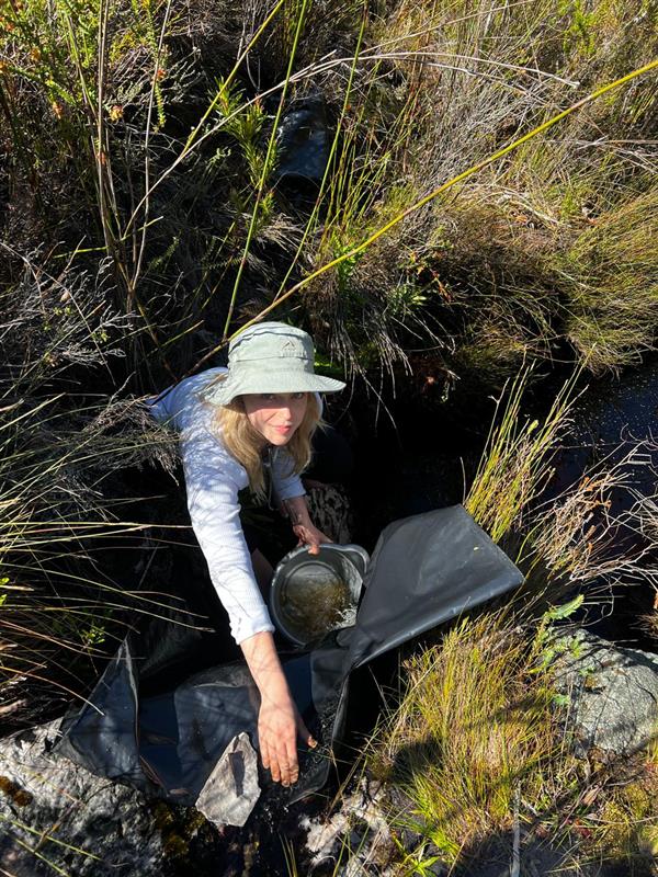
Gaolathe Masikara has also joined to work shadow for two months over November and December to gain practical experience in all spheres of environmentalism.
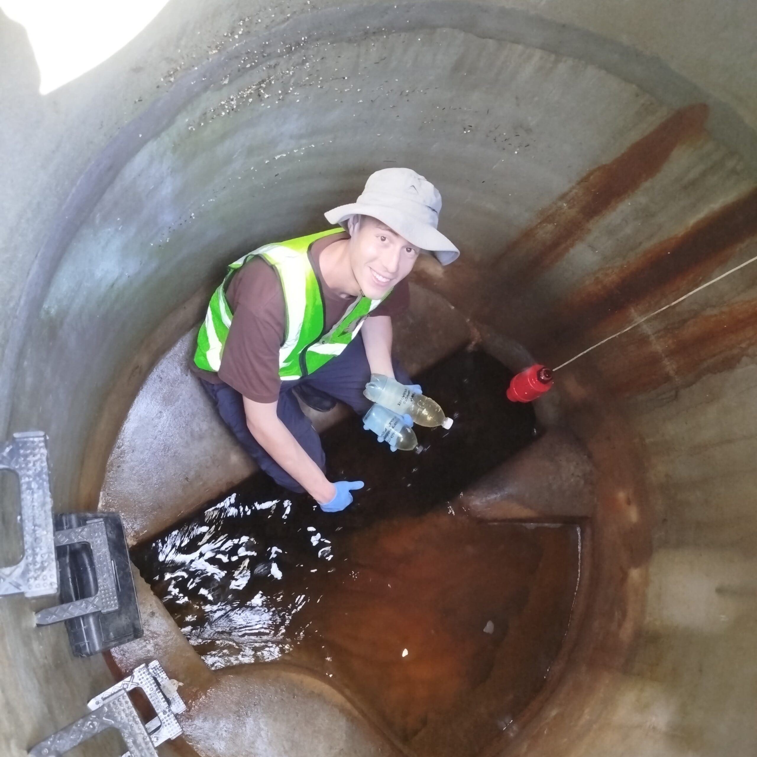
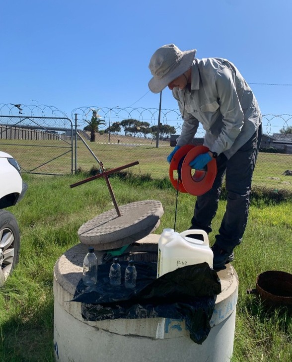
undertaking water quality
monitoring in Atlantis.

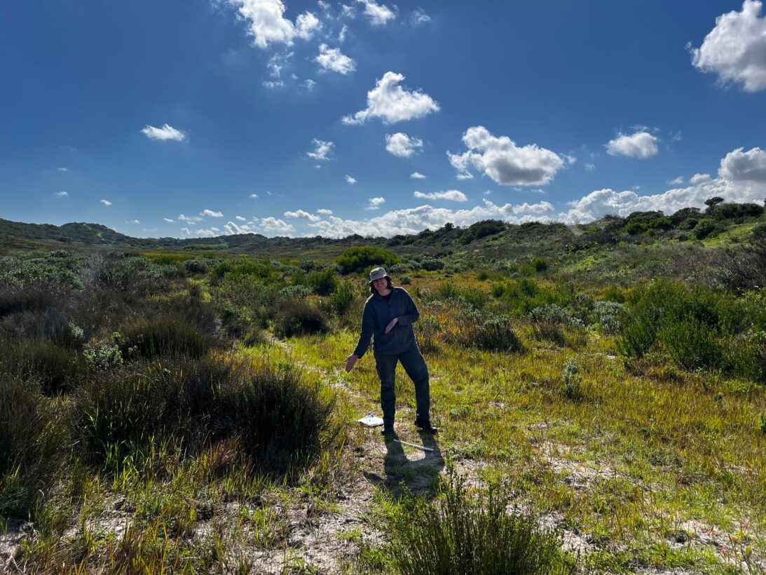
Gaolathe in Steenbras
Nature Reserve.
EXPLORING THE OUTDOORS
Several of Umvoto’s staff have had the opportunity to travel this year, from Madagascar to Thailand, Vietnam, and China to New Zealand to Namibia to Lesotho, and around South Africa.

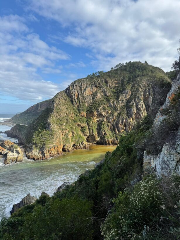

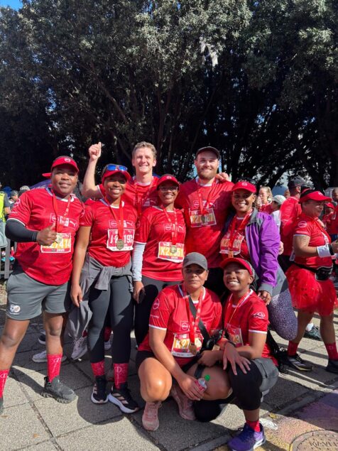
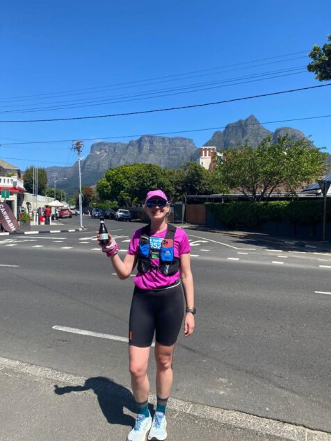
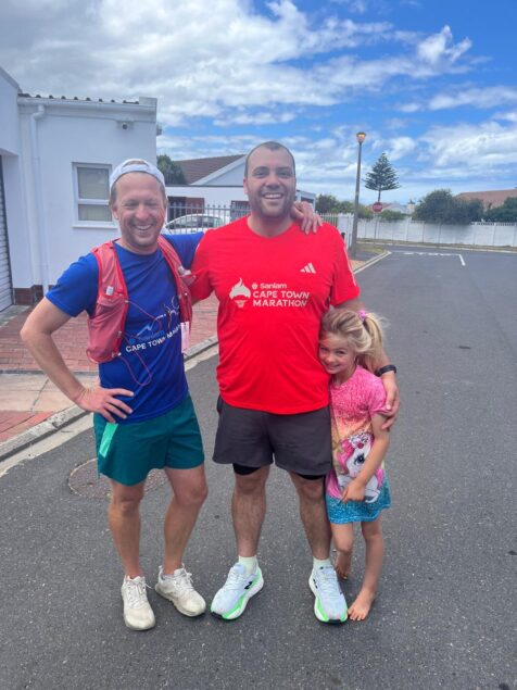
Some staff participated in various marathons during the course of the year.
Internal Development and Contributions
CONFERENCES AND WORKSHOPS
In late-April, Kornelius Riemann, David McGibbon, Kobus Prinsloo, Keanan Woolf, and Philip Geldenhuys attended the 12th International Symposia of MAR (ISMAR) in Stellenbosch. Not only did Umvoto represent by giving four presentations but also by hosting and guiding two field trips to the Cape Flats Aquifer Management Scheme (CFAMS) and the Atlantis Water Resource Management Scheme (AWRMS). To top off the symposia, Keanan received the best speaker award.
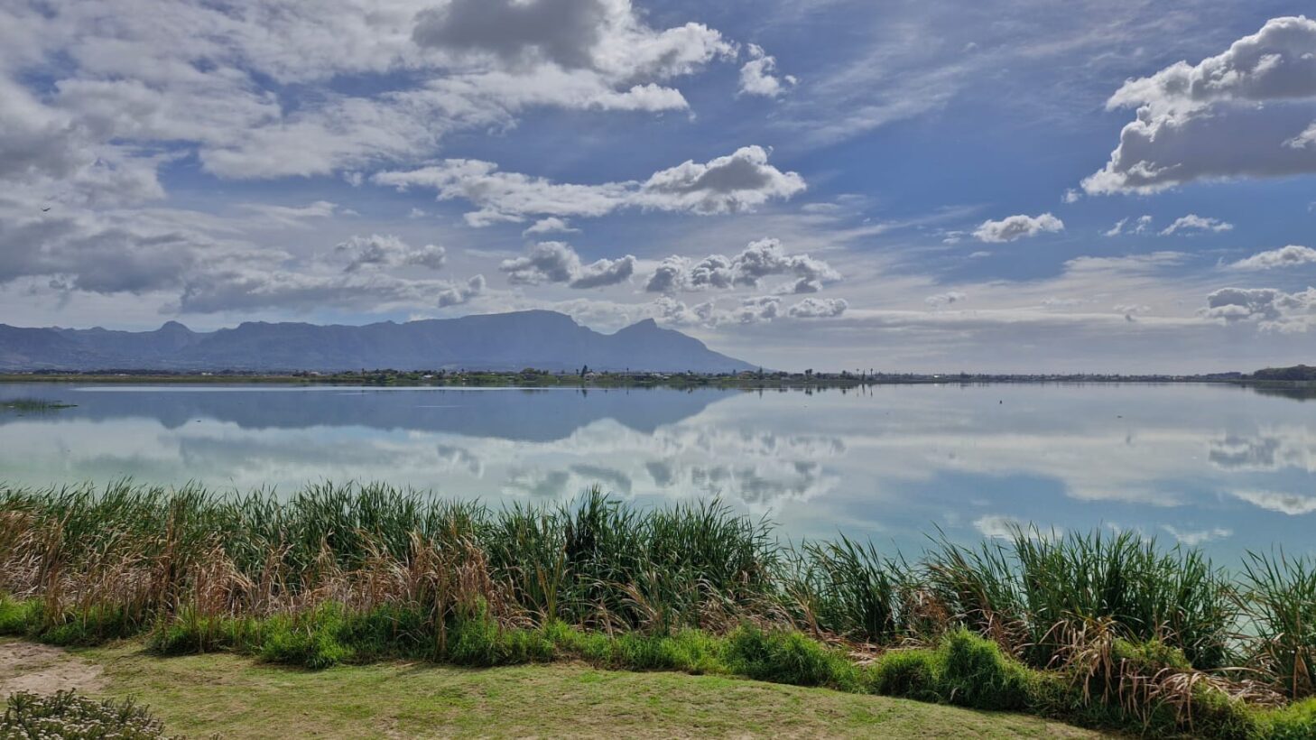
Photograph looking out at Zeekoevlei, a RAMSAR site and lunch stop on the CFAMS field trip.
Keanan receiving the best speaker award.

Umvoto’s MD Ronnie Kingwill attended the UN Global Compact Network South Africa’s (GCNSA) Sustainability Leadership Conference in Cape Town in April as part of South Africa hosting the G20 South Africa Summit in November. “The conference … offer[ed] a vital platform for both civil society and business leaders to engage in meaningful conversations that will shape the country’s sustainability journey”.

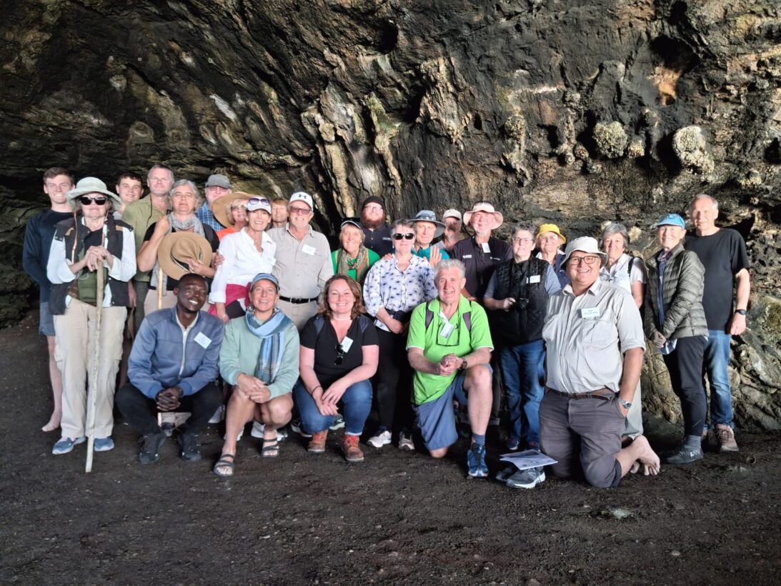
In early May Dylan Blake attended the Overberg Geoscientist Group (OGG) Bonnievale-Robertson-Montagu weekend geological field trip, with highlights including visiting the unique Early Palaeocene (~63 million years old) Goedemoed olivine melilitite pipe (a type of volcanic intrusion with spectacular horizontal columnar jointing) at Van Loveren wines near Bonnievale, and a wonderful tractor ride to near the top of Arangieskop
(1 696 metres above sea level within the Langeberge).
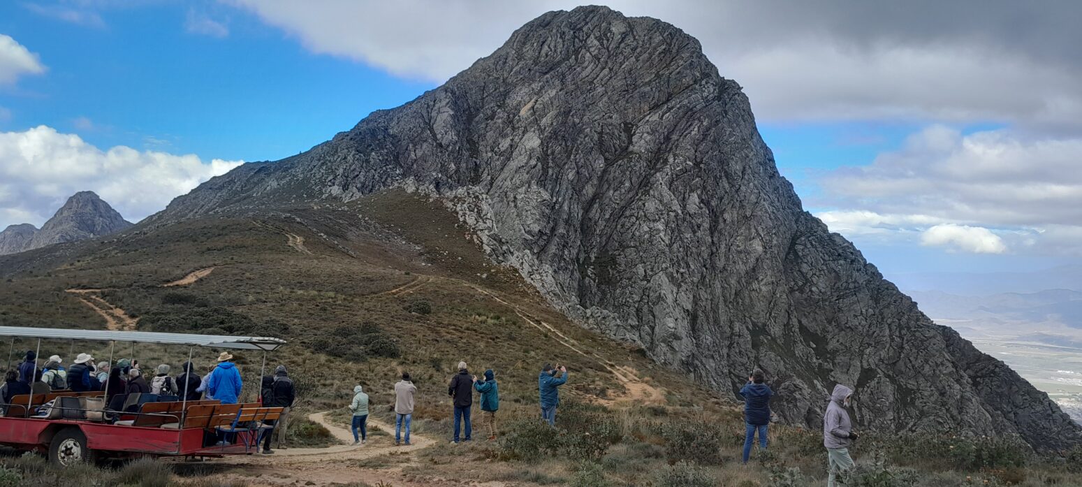
Arangieskop at the end of the Protea Farm tractor ride.
Dylan and Kelly Blake in front of Goedemoed olivine melilitite pipe columnar jointing
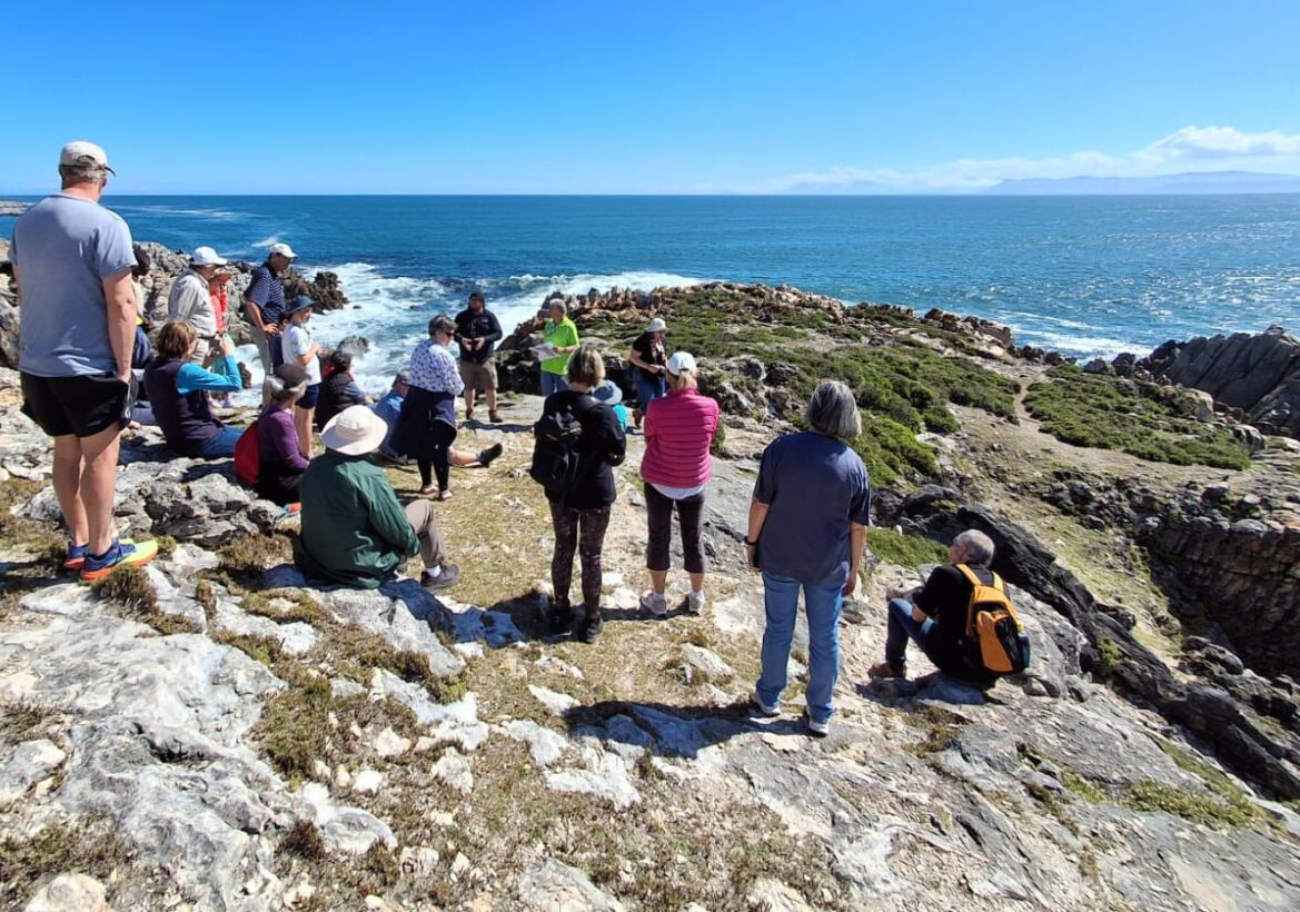
At the end of August Dylan helped guide an OGG day trip to Gansbaai and De Kelders with long-time friend Dr Hayley Cawthra from the Council for Geoscience and Mike Dormer from the OGG. Dylan discussed the coastal hydrogeology of the Bredasdorp Aquifer (including the Stanford Aquifer and De Kelders-Gansbaai Springs) and Table Mountain Group (TMG) fractured aquifers at various stops in Gansbaai and De Kelders along the Overstrand coastline.
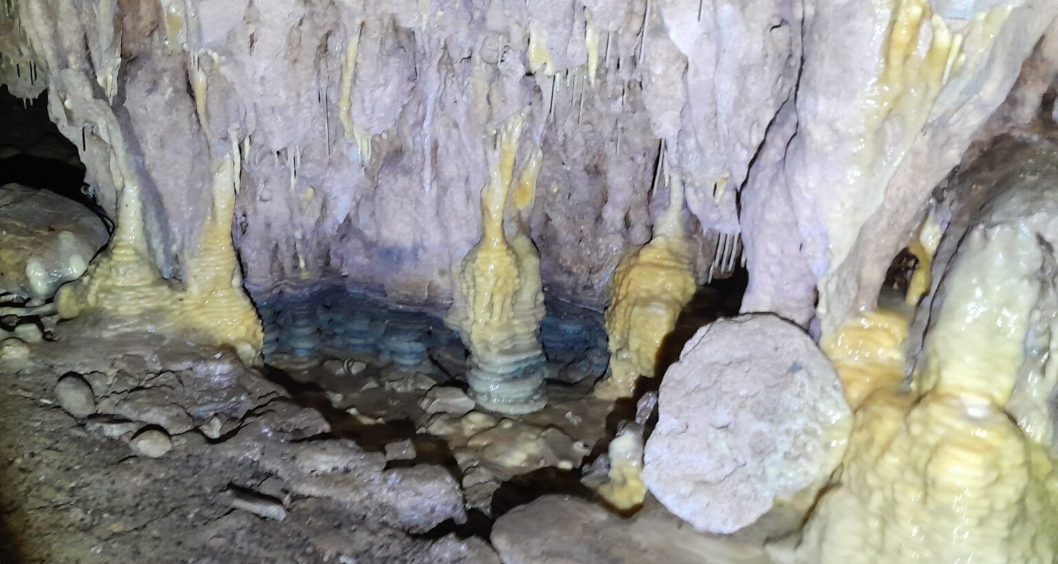
In June, Anele Matsebula and Dylan Blake attended GeoCongress 2025 at the University of Free State in Bloemfontein, where they presented on the “Analysis of High-Resolution Satellite Imagery to Study Neotectonic Fault Scarps in Southwestern Namibia” and “The Dido Valley ‘Spring’ – A Tale of Urban Hydrogeology and History in The Deep South of Cape Town” respectively.
The conference, themed “Embracing Change Through Collaboration –
130 years of the GSSA” brought together leading academics, students and industry experts across the country to share insights and innovations in various geological fields. Dylan also attended one of the conference field trips to the Florisbad Quaternary Research Station, where both ~400 000-100 000 year old Pleistocene mammalian fossils and a ~260 000 year old archaic modern human skull (the “Florisbad Skull”) were found in association with the Florisbad warm (28-30°C) spring (which was a thriving resort in the area in the early 1900s).
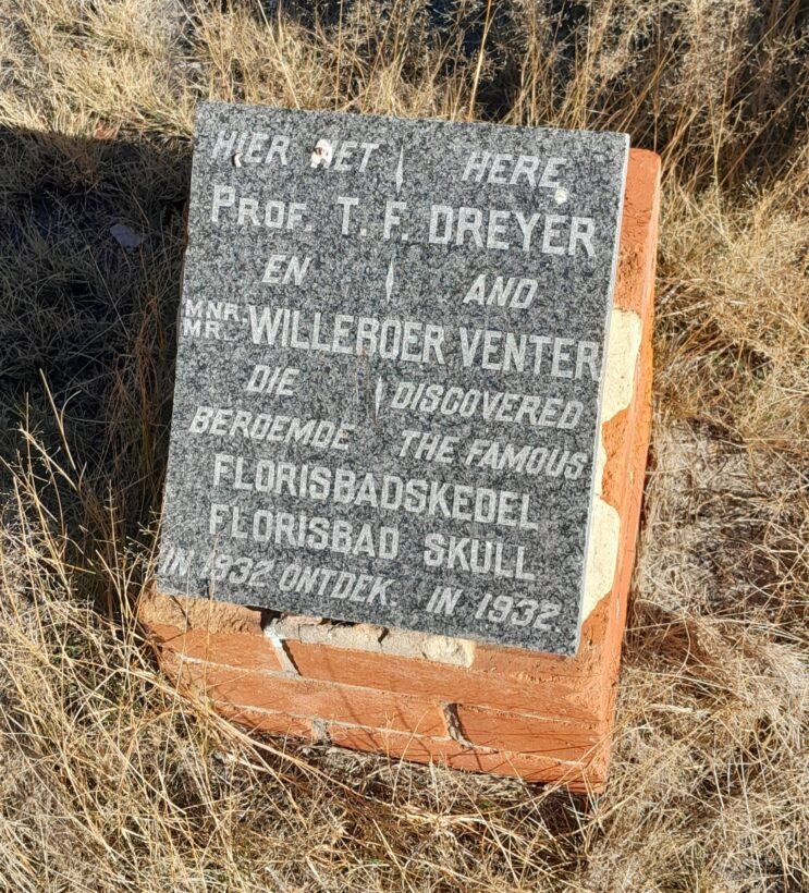
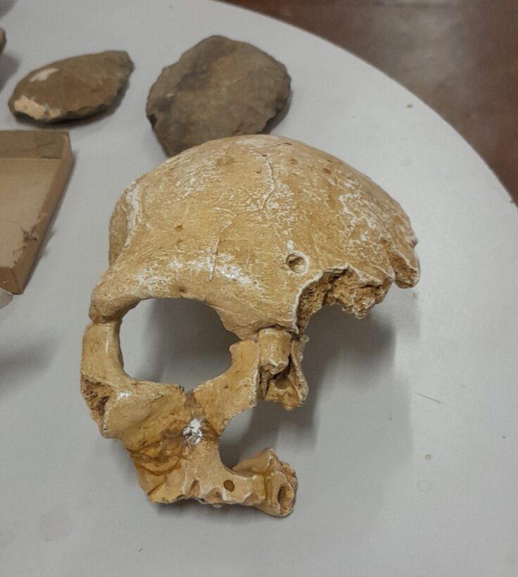


~260 000 year old skull was likely feasted on by a hyena (with tooth imprints visible), and represents either Homo helmei or an early form of Homo sapiens.
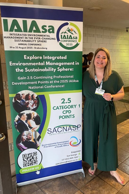
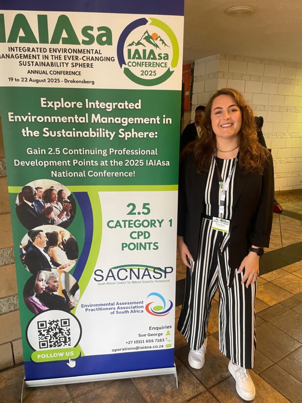
Gemma Bluff (left, Senior Climatologist and Environmentalist), and Melissa Weeks (right, Environmentalist) of the environmental team attended and presented at the International Association for Impact Assessment South Africa (IAIAsa) Annual Conference in August on “Air Quality Monitoring for Geothermal Development in Ethiopia” and “Trials and Tribulations of an ECO – Navigating Bureaucracy in Environmental Compliance”.
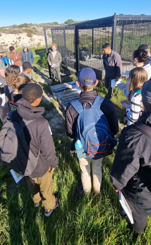
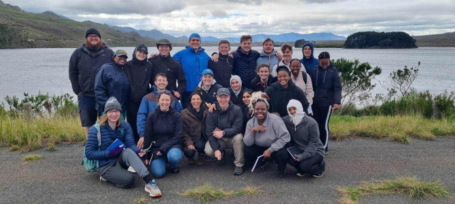
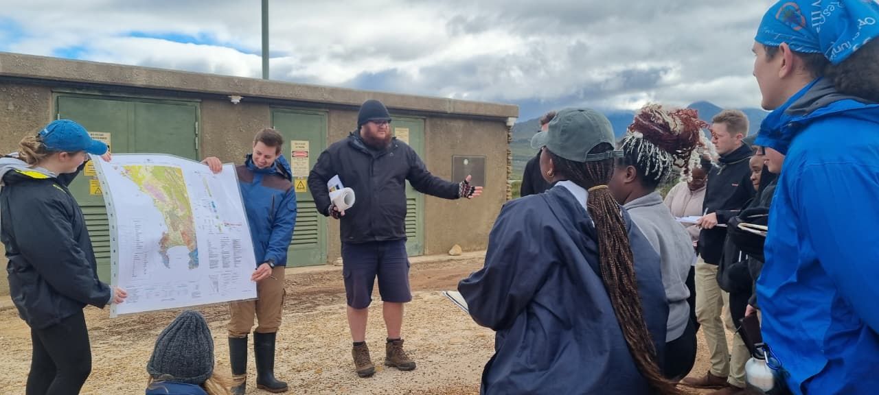
In August, Umvoto hosted groups of Earth Science students from the University of Stellenbosch on two field excursions to the City of Cape Town (CCT) major groundwater schemes – this included the CFAMS (guided by Keanan Woolf and David McGibbon), and Steenbras Wellfield at Steenbras Dam (guided by Dylan Blake) as part of the CCTs TMG aquifer development. Dylan also gave a similar guided trip to Steenbras Wellfield to Canadian University of Waterloo sustainability students in May.
Across both visits, students were introduced to the contrasting aquifer systems that are being developed to support Cape Town’s ever-growing water demand – the primary, unconsolidated CFA that underlies much of the Cape Flats, and the secondary fracture aquifers of the TMG within the Hottentots Holland and Kogelberg Mountain ranges.
The visits offered a valuable look at how classroom concepts become real-world practice, and how large-scale groundwater development can be used by cities to diversify their water supply and reduce the risk of sole dependence on surface water supply (especially during increasing and more intense drought events likely caused by climate change).
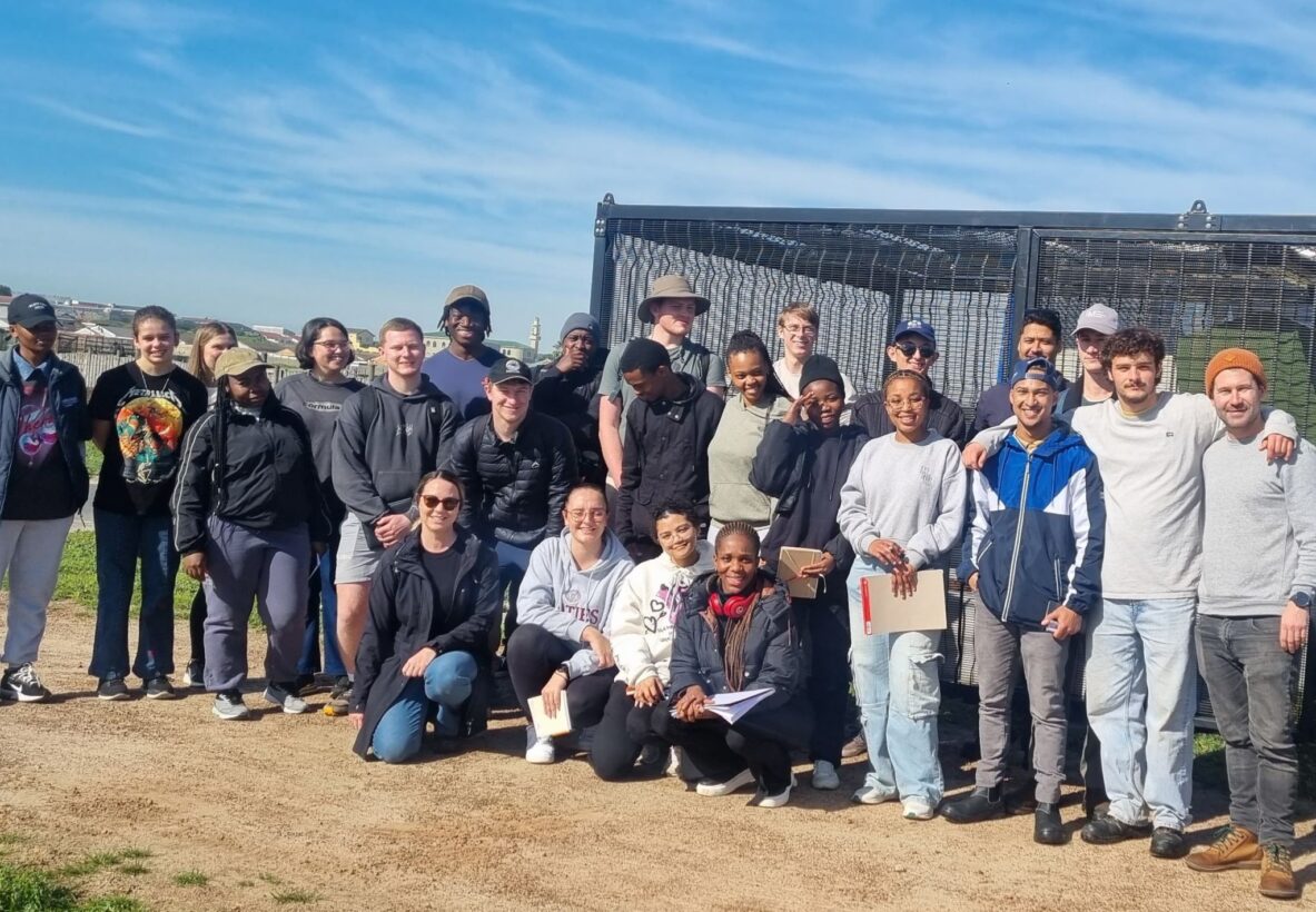
middle) guided by Keanan Woolf and David
McGibbon. Field visit to Steenbras Wellfield
and Steenbras Dam (top right and bottom
right) guided by Dylan Blake.
Dylan Blake also presented in mid-September at the Whale Coast Conservation Annual General Meeting (AGM) on the “Groundwater Resources of the Overstrand Local Municipality” and at the Friends of the Silvermine Nature Area (FOSNA) AGM in late-May on the Silvermine Wetland water quality monitoring TUF has been undertaking on a quarterly basis from January 2023 to present. In addition, Dylan, David McGibbon, and Andrea Hoppé also gave a field presentation on the geology and hydrogeology of the Glencairn area in August as part of the Iziko South African Museum and GSSA’s GIFT Workshop on “Exploring the Water Cycle” to school geography teachers.
At the end of October, Matthew Misrole, Khutjo Diphofe, and Wiehan Swanepoel presented five projects at the GWD Biennial Conference, themed “A Science in Sync”. Khutjo presented “Towards More Accurate and Regionally Tailored Groundwater Recharge Estimation: Gaps, Innovations, and Collaboration” and “Hydrogeological and Institutional Challenges for Groundwater Supply in a Rural Municipality.” Matthew presented on “High Confidence Groundwater Reserve Determination in the Berg Catchment, South Africa” and “Refining South Africa’s Strategic Groundwater Source Areas (SWSA-gw).” The recharge estimation and SWSA-gw studies are ongoing – presenting them at this stage allowed the team to gain invaluable feedback from delegates, opening discussions that will guide the development of the final outcomes.
Dylan and Dave presenting at the GIFT Workshop on Glencairn Beach.

Wiehan presented “Stripping the Surface: Terrain Correction and Remote Sensing for Brine Aquifer Geometry Interpretation in a Middle Eastern Sabkha,” a novel and cost-effective approach demonstrating how high-quality subsurface information can be obtained while reducing exploration costs.
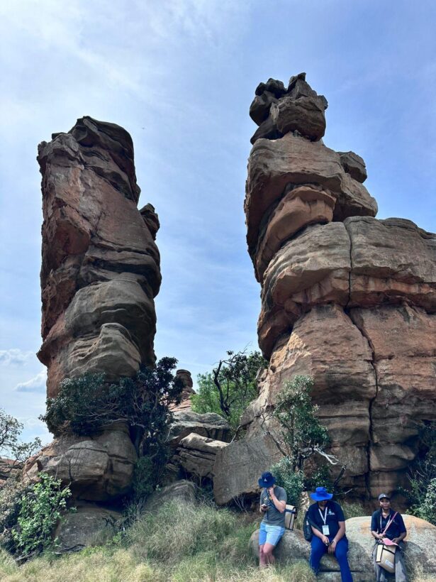
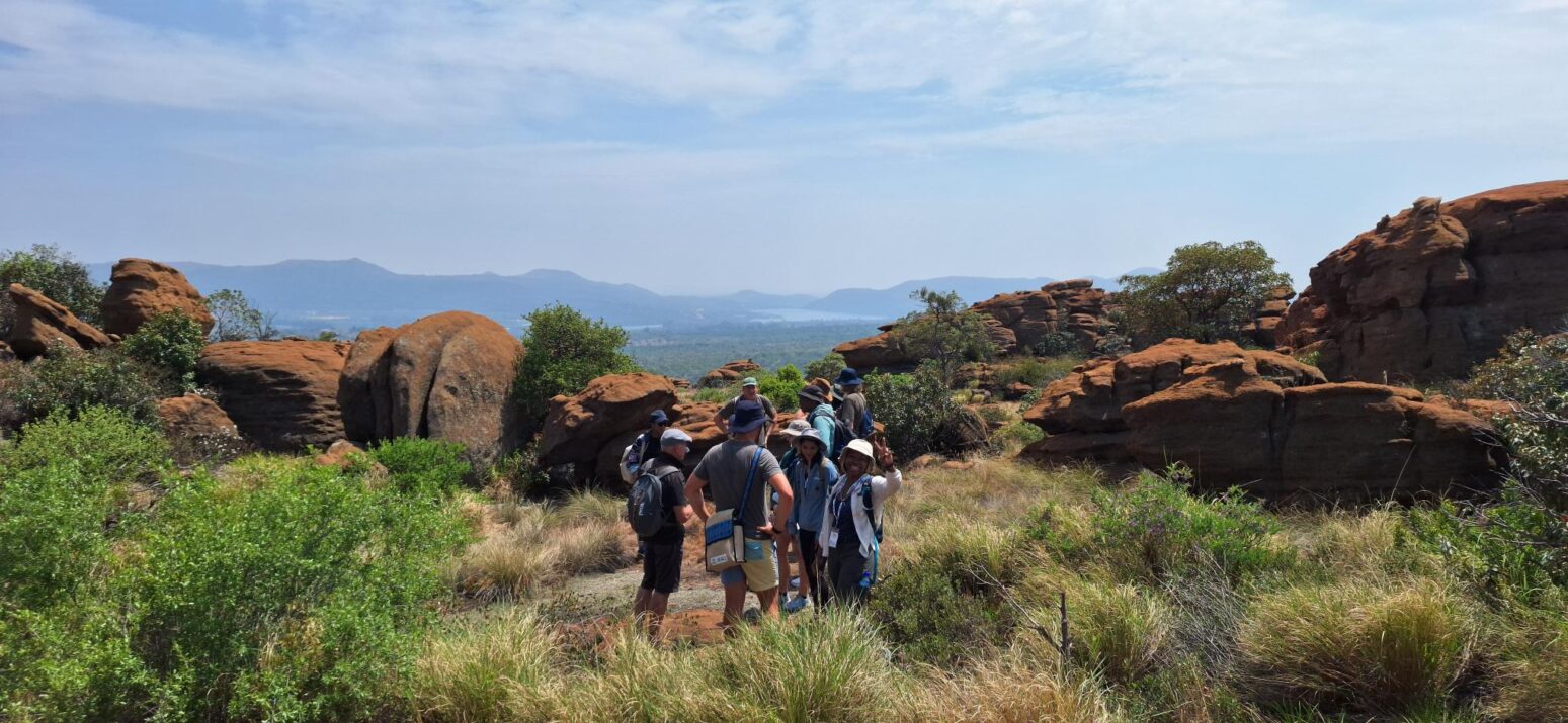
In addition to the presentations, the team participated in a field trip, hiking through the Magaliesberg, one of the oldest mountain ranges in the world, dating back over 2 billion years. The hike traversed three kloofs, with magnificent views of the Magaliesberg Formation which forms part of the Pretoria Group of the Transvaal Supergroup. This immersive experience offered a tangible sense of deep time.
The SWSA-gw project incorporated a focused capacity-building programme to strengthen groundwater expertise within Umvoto and the Department of Water and Sanitation (DWS). Through structured workshops, mentoring, and practical training sessions, participants developed skills in groundwater data analysis, GIS, modelling, and field techniques while contributing directly to project tasks. This initiative supports long-term capability for groundwater resource management within South Africa. For more information, see the SWSA-gw project below.

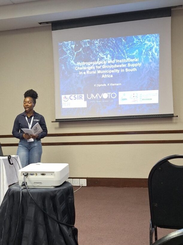
Khutjo (above) and Matthew (top right) presenting their work.

INTERNAL DEVELOPMENT
Melissa Weeks attended two courses, one on Environmental Auditing and Monitoring and one on Environmental Law and Compliance. The auditing course enhanced Melissa’s skills in assessing onsite environmental performance, while the law course deepened her understanding of regulatory requirements and compliance obligations. Together, these courses strengthened Melissa’s ability to make informed decisions, ensure legal compliance, and promote more effective environmental management.
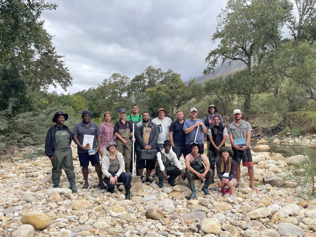
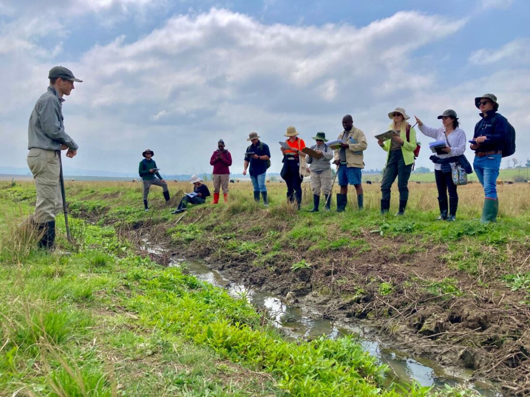
In April, Junior Ecologist Kim Parker attended the SASS5 Training Course hosted by the Freshwater Research Centre, gaining hands-on experience in using SASS5 biomonitoring – a rapid aquatic biomonitoring method. In October, she completed a Wetland Assessment Course in Hilton, KwaZulu-Natal, building foundational skills in wetland hydrology, geomorphology, water quality, and ecological processes to support effective wetland evaluation and mitigation planning.
In July, Jannie Weitz attended the Python for Hydrogeologists training course hosted by GWD and IAH-SA at Stellenbosch University. The three-day programme was designed to strengthen groundwater modelling and data analysis skills. Led by Dr Anton Lukas, the course demonstrated how Python is transforming hydrogeology through efficient data handling, workflow automation, and seamless integration with MODFLOW and FEFLOW. The course allowed for a hands-on experience building numerical models, performing spatial analyses, and visualising groundwater flow. The sessions also introduced machine learning applications in water resource management.

STRIVING TOWARDS THE SDGs
Umvoto is aligned with the United Nations’ Forward Faster campaign which aims to increase company accountability and transparency in our commitments to strive for Gender Equality, Climate Action and Water Resilience under the Sustainable Development Goals. The Water Resilience target includes endorsing the CEO Water Mandate, which aims to advance global corporate water stewardship. Read more on our SDG initiatives here.
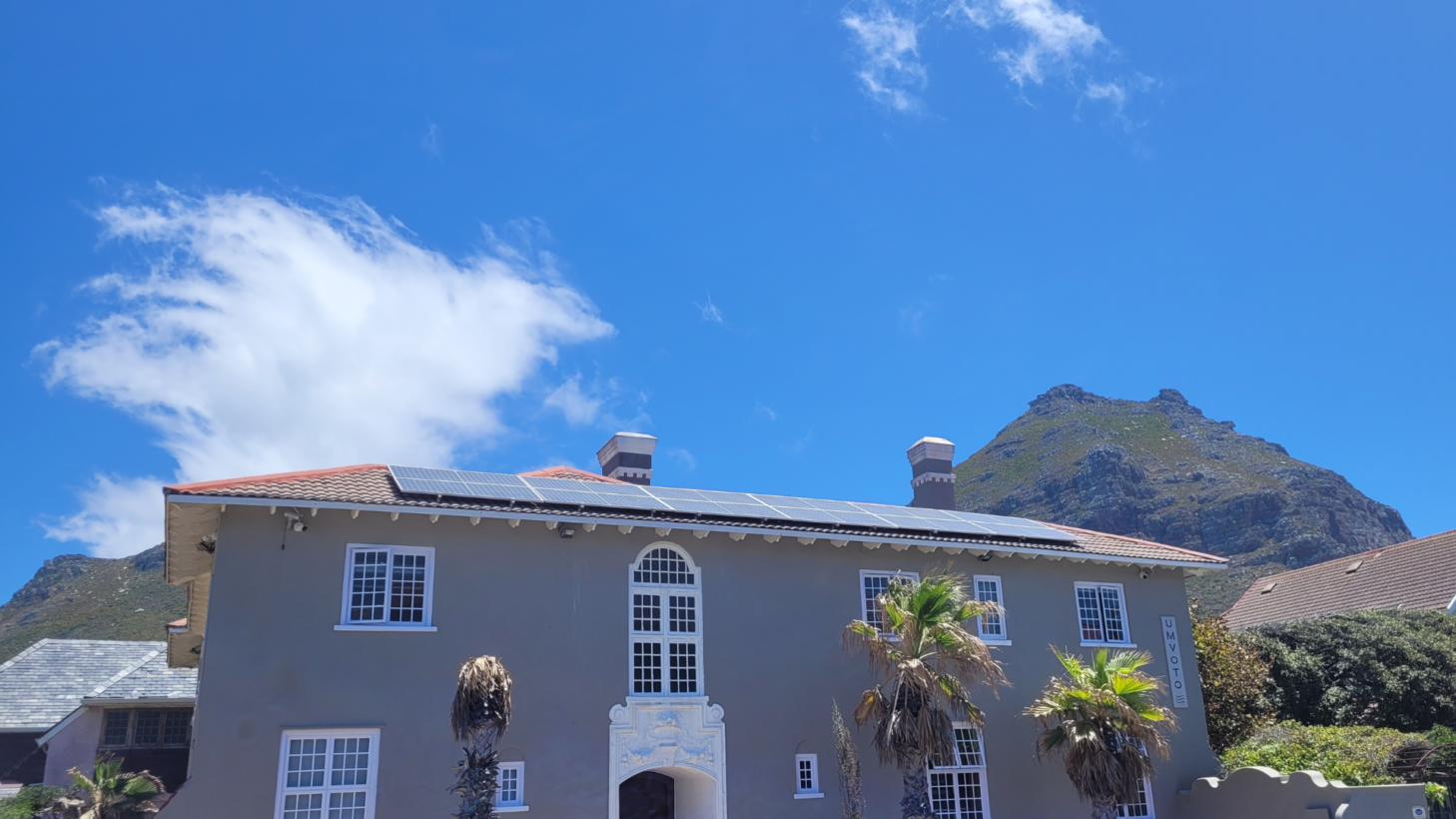
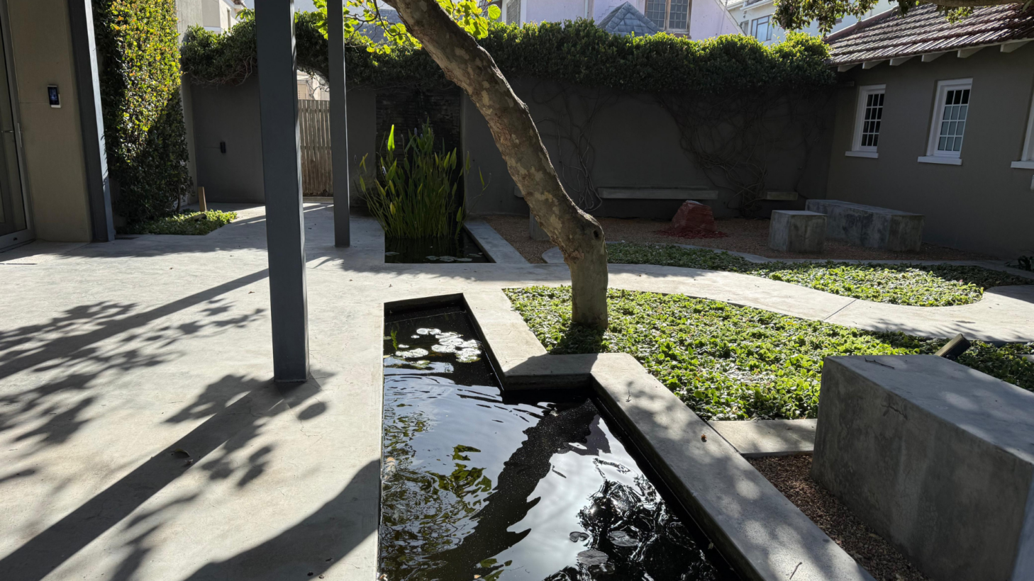
Umvoto’s sustainability in action comprises an off-grid solar energy system (left) providing reliable electricity throughout the day (addressing SDG7 and SDG13); sorting our waste into recyclables, compostables and general waste, ensuring that materials such as paper, plastics and glass are diverted from landfill; as well as a closed-loop water system of the self-sustaining Khoi pond (right; addressing SDG6), reflecting Umvoto’s broad philosophy of responsible water and ecosystem management.
The Umvoto Foundation
The Umvoto Foundation (TUF) continued work on projects initiated during 2025, including:
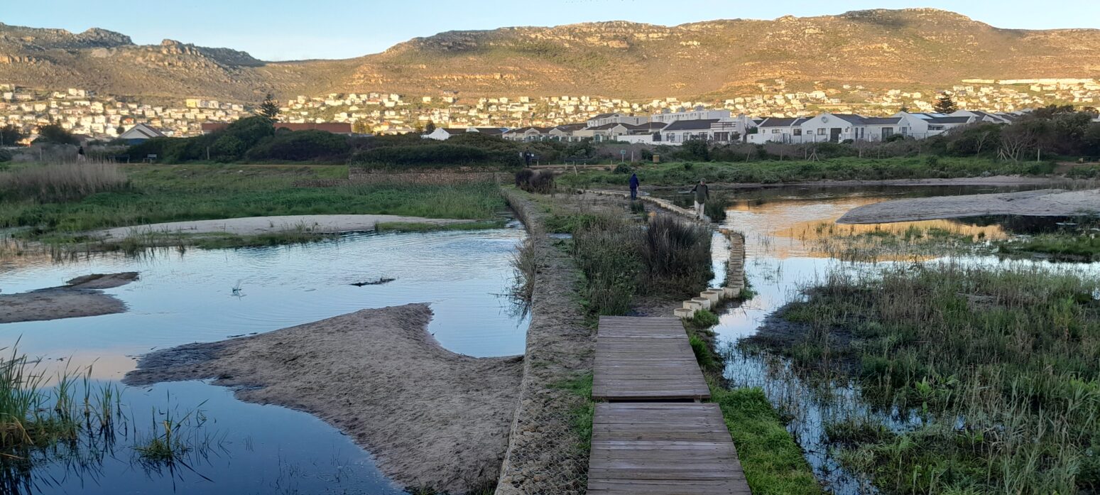
- Continued hydrochemical sampling of the Silvermine Wetland for FOSNA, including presenting at the FOSNA AGM in May 2025 and providing a report at the end of 2025 on the water quality monitoring that has been undertaken at the wetland from 2023-2025.
- Hydrochemical sampling of the various seeps and springs for the Friends of Muizenberg Park, to assist with the indigenous vegetation and wetland restoration within the park.
- Hydrochemical sampling of various seeps and springs that local South Peninsula residents have access to, to help them better understand the local hydrogeology and what the water quality allows these residents to use the water resources for.
This year marked the groundwork phase of the Fisher Foundation’s partnership with TUF, which aims to strengthen water resilience in vulnerable communities across the Western Cape. The initial project phase focused on identifying suitable towns and institutions, assessing hydrogeological conditions, and developing a clear methodology for responsible groundwater development. This work included a comprehensive desktop assessment that narrowed 118 potential institutions to 15 priority sites across 13 towns based on need, hydrogeological viability and community impact.
With the scientific foundation and priority list now established, the project is planned to move into its implementation phase next year. Activities will include a fundraising radio campaign followed by field investigations, drilling, aquifer testing, and planning for long-term monitoring and community involvement.
Projects
UPDATES ON EXISTING LONG-TERM PROJECTS
City of Cape Town New Water Programme
Atlantis Water Resource Management Scheme
Along with Zutari and the CCTs Bulk Water Branch, Umvoto’s continued work throughout the year has seen the AWRMS produce its first groundwater from the newly equipped production boreholes in the Witzands Wellfield. Umvoto’s commitment to the refurbishment of the AWRMS has seen the construction of Basin 6 near its completion while assisting in maintaining the City’s compliance with its construction water use licence (WUL). Despite some challenges, the AWRMS is set to look into the expansion of the scheme, further extending the schemes’ reach, offering more resilience to the town of Atlantis and larger CCT area.
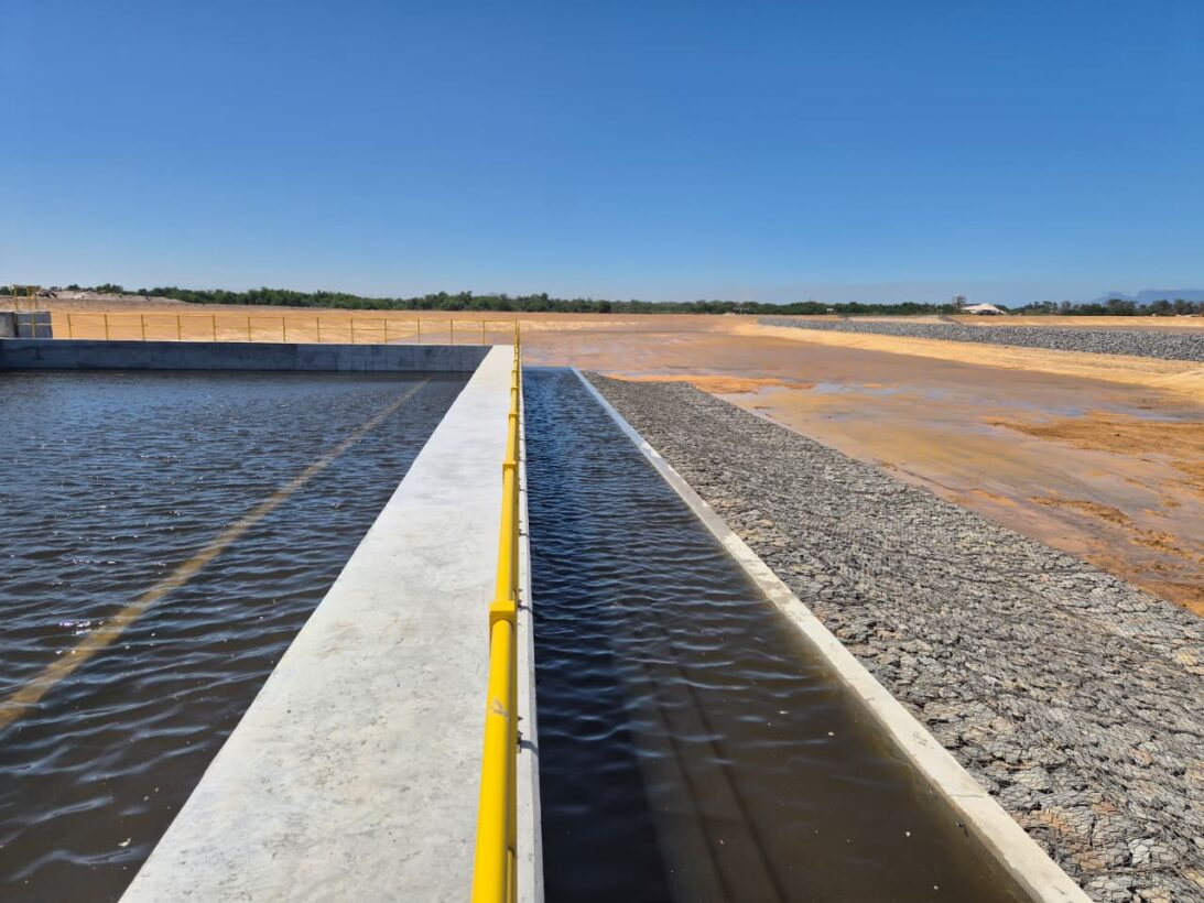
Table Mountain Group Aquifer Wellfield Development
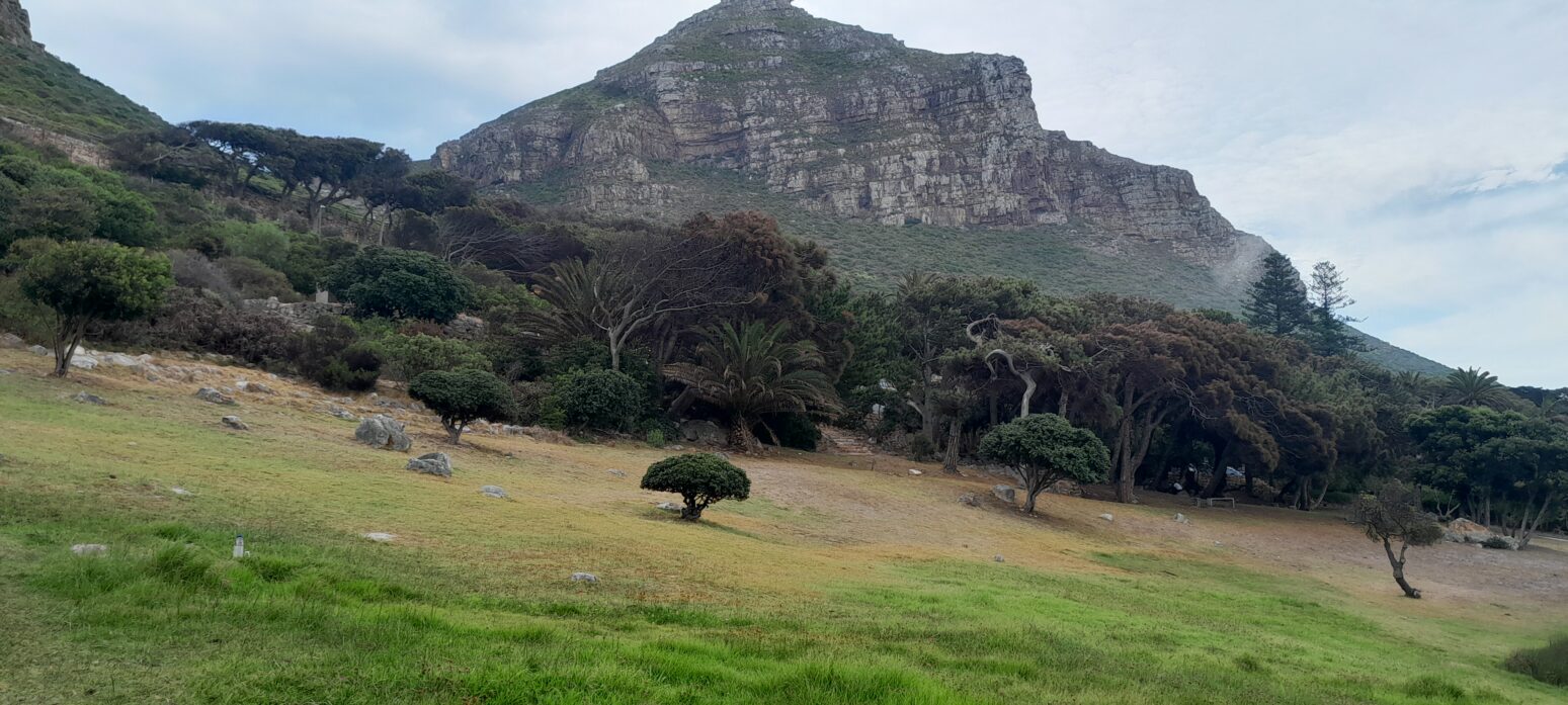
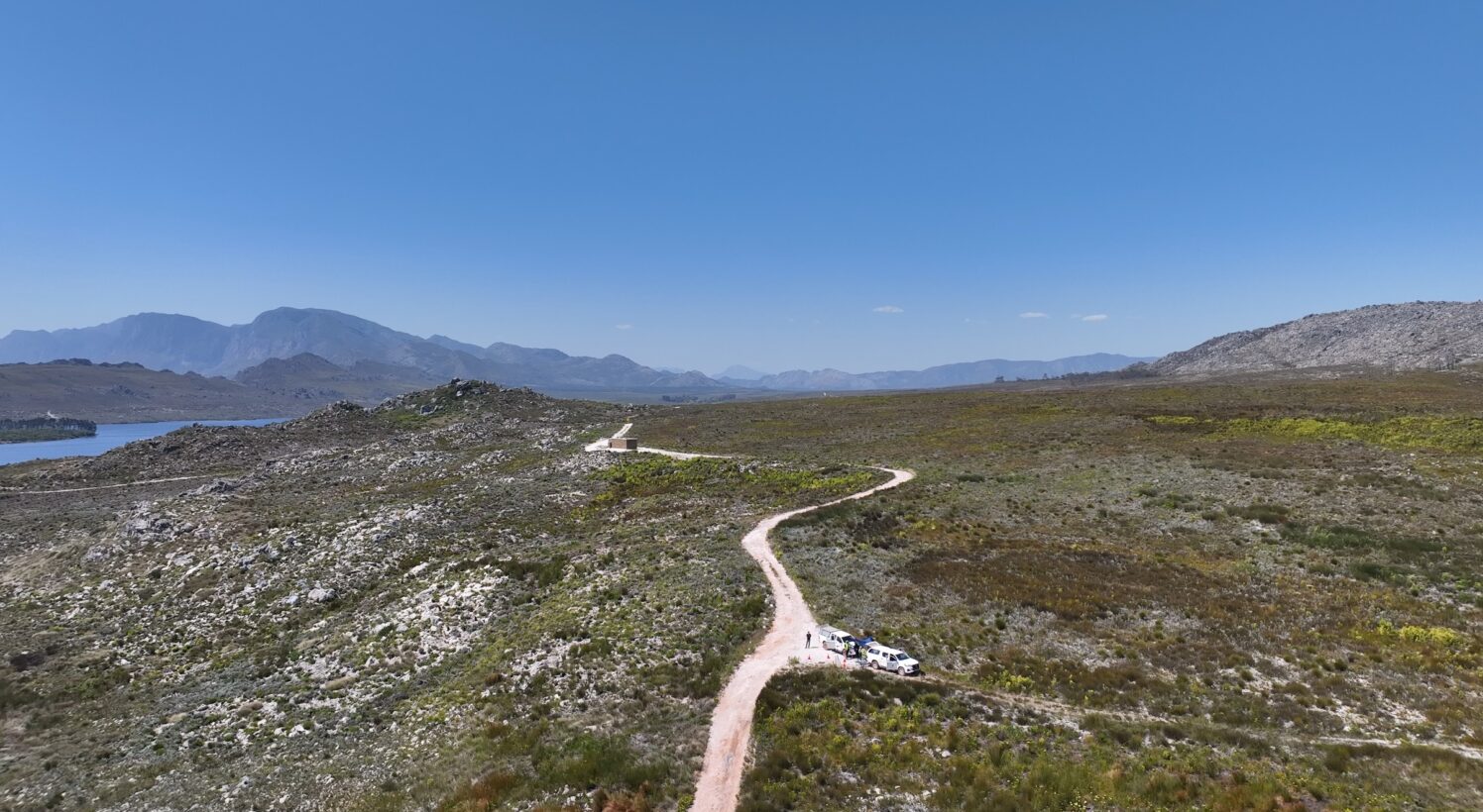
During 2025 Umvoto continued numerical groundwater modelling of Steenbras Wellfield to determine potential groundwater abstraction impacts for the development of ecological offsets, along with integrating the operation of the wellfield with the Western Cape Water Supply System. Steenbras Wellfield production boreholes continue to be equipped, with the wellfield likely to be fully operational during early 2026.
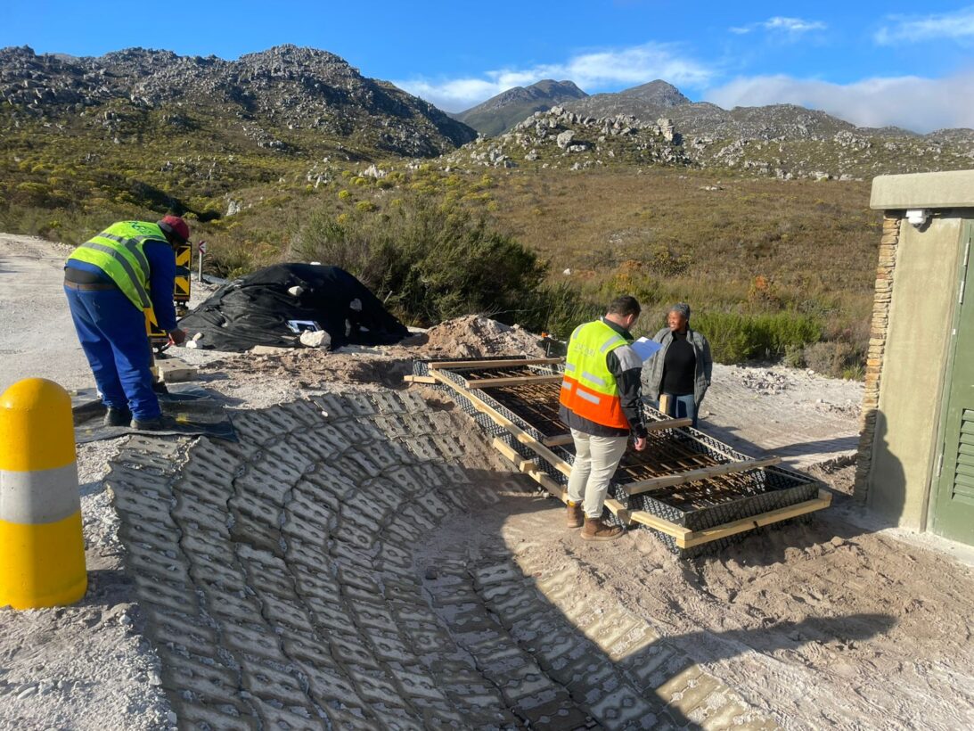
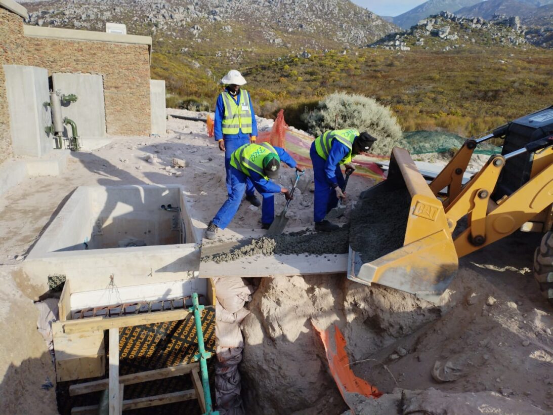
Umvoto’s environmental team undertakes weekly supervision across the wellfield, overseeing contractors who are vital in building and maintaining the bulk water infrastructure. The work is undertaken within the Steenbras Nature Reserve and as such the environmental compliance requirements are strict and require careful consultation with multiple stakeholders. In doing so, Umvoto ensures that critical water supply infrastructure can be developed without compromising the ecological integrity of the area.

Cape Flats Aquifer Management Scheme
Umvoto continued the development of the CFAMS under Zutari, with steady progress across both the treatment and groundwater components of the scheme. This year saw the expansion of the abstraction and injection wellfields, supported by ongoing monitoring and borehole rehabilitation work.
Further progress was made on the advanced water reclamation plant, which will supply source water for Managed Aquifer Recharge operations, along with good progress at the Philippi Water Treatment Works. Throughout the year, Umvoto carried out hydrogeological assessments and numerical modelling to inform design decisions, support wellfield optimisation and guide the continued implementation of the scheme.

Oudtshoorn Groundwater Project
Umvoto continued its support to the Oudtshoorn Municipality Groundwater Project. This year’s work focused on checking borehole performance, routine maintenance, and ensuring that the wellfield continues to operate reliably as part of the municipality’s groundwater supply. These ongoing activities help maintain sustainable abstraction and support the long-term resilience of the system.
Overstrand Local Municipality Groundwater Management
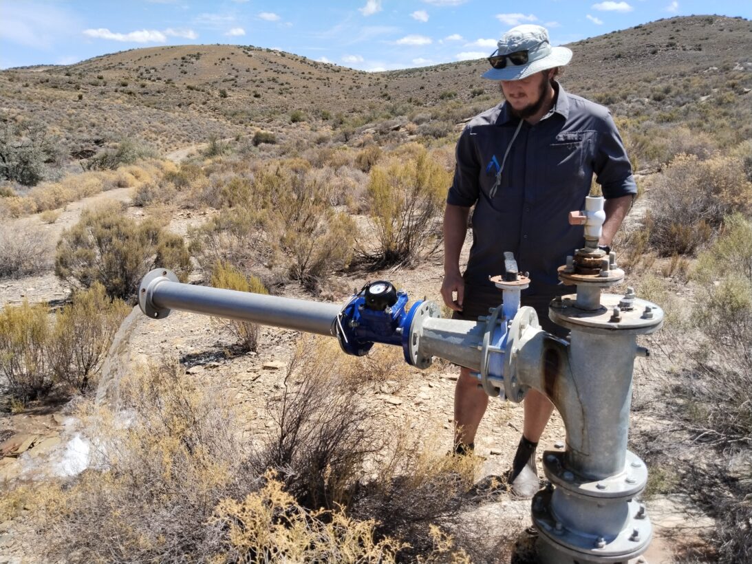
2025 has seen continued groundwater monitoring and management for the Overstrand Local Municipality (LM), including the TMG aquifer wellfields in Hermanus (Gateway, Camphill and Volmoed Wellfields) and Baardskeerdersbos, and The Eye spring system and Kouevlakte Wellfield within the Stanford Aquifer, to ensure consistent groundwater supply while protecting these various aquifers. Umvoto is also assisting the Overstrand LM in developing a groundwater supply to Pearly Beach (with drilling of new Pearly Beach production boreholes and replacement Gateway Wellfield production boreholes expected to take place in early 2026), and improving groundwater education for residents in the municipality.
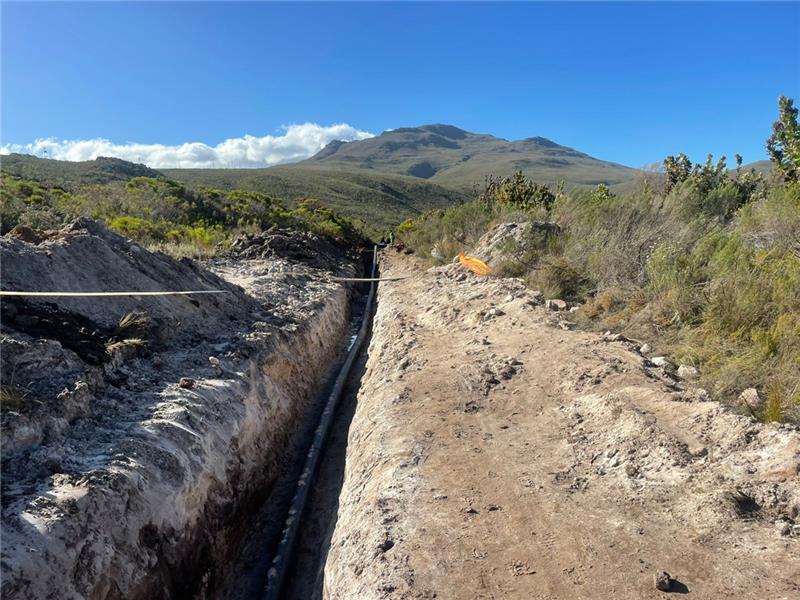
The Hemel en Aarde Wellfields Expansion Project progressed with the successful commissioning of the relatively high-yielding HAV1 Replacement and T4/5 production boreholes, allowing the Overstrand LM to be able to abstract up to 1.6 million m3/a of groundwater from the Camphill and Volmoed Wellfields (once approval has been granted by the Breede-Olifants Catchment Management Agency to increase to Stage 3 of the Hemel en Aarde Wellfields WUL). As part of this expansion project, Umvoto oversaw the environmental management and monitoring of the surrounding area during the construction of pump houses and the installation of over 700 m of pipeline. Ongoing work included supervision of onsite contractors and freshwater ecological monitoring of the downslope wetland areas to ensure the protection and preservation of the surrounding environment throughout construction.

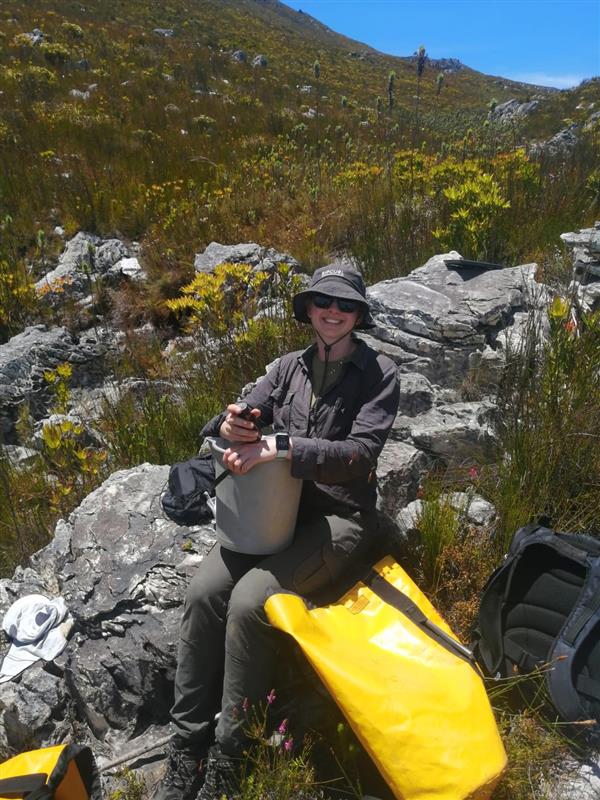
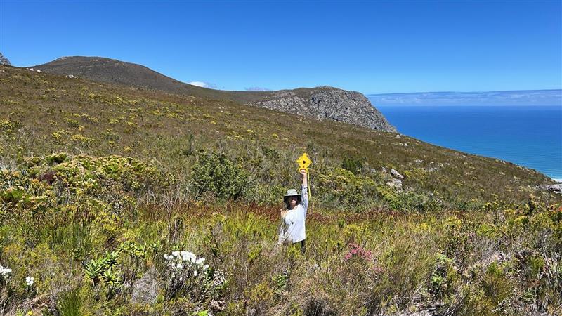
Fernkloof Mountains play a vital role in sustaining local water resources. Ongoing ecological monitoring within the Fernkloof Nature Reserve helps ensure that groundwater abstraction does not negatively affect groundwater-dependent ecosystems such as wetlands. Monitoring activities include Berzelia vegetation counts, an important wetland-indicator species, alongside streamflow and water level measurements across three sites. In addition, hydrochemical sampling is conducted to better understand surface water and groundwater contributions to monitored wetlands. Together, these efforts enable the early detection of any environmental changes, supporting effective environmental management and the continued responsible use of the Overstrand LM TMG wellfields.
Refinement of Strategic Groundwater Source Areas of South Africa
The Refinement of Strategic Groundwater Source Areas (SWSA-gw) in South Africa project, commissioned by the DWS and led by Umvoto, commenced in April 2024 and runs until March 2027. This 36-month initiative builds on earlier national and international studies and aims to enhance the identification, delineation, and management of South Africa’s key groundwater source areas through a refined, aquifer-specific methodology.
SWSA-gw areas are vital for national water security, particularly in arid and drought-prone regions. The project focuses on improving spatial precision by integrating updated assessments of groundwater availability, aquifer vulnerability, and socio-economic significance. It also incorporates transboundary aquifers shared with neighbouring countries, promoting a co-ordinated regional approach to groundwater management.
With the delineation phase underway, the project team are making steady progress in applying and testing the refined methodology. Ongoing work includes sensitivity testing, expert review, and data calibration to ensure that results are scientifically robust and nationally consistent. Aligned with the National Water Resource Strategy III (2023) and supporting the forthcoming National Water Amendment Bill, this initiative represents a major step toward sustainable groundwater governance and long-term water security for South Africa.

Refinement of Groundwater Recharge Estimation Methods
This project, commissioned by the Water Research Commission (WRC), has been undertaken by Umvoto since October 2024 and is scheduled for completion by September 2027. The project responds to a national need for modernised, data-driven approaches that can better support groundwater planning, licencing, and long-term resource sustainability.
Since inception, the team has completed a comprehensive literature review and gap analysis, which assessed current recharge processes and methods, and identified major limitations and challenges of applying existing methods across diverse hydrogeological settings. Building on these findings, the project is developing an integrated, context sensitive methodology that combines multiple recharge estimation techniques. This draft methodology follows a structured workflow that considers study objectives, geological context, scale, data availability, and uncertainty.
The upcoming phase will involve field testing across representative case study sites that span different climates, aquifer types and data conditions. Results from these pilot sites will feed into a national guideline aimed at supporting practitioners with clearer decision tools and practical pathways for implementation. Ultimately, the project aims to strengthen groundwater planning systems, licencing practices and early-warning capability for sustainable abstraction.

NEW PROJECTS
Apart from Umvoto’s long-term projects, the team also undertook several significant projects during 2025 that ranged in scope and scale.
Major Groundwater Research Projects
Southern African Development Community Groundwater Management Institute
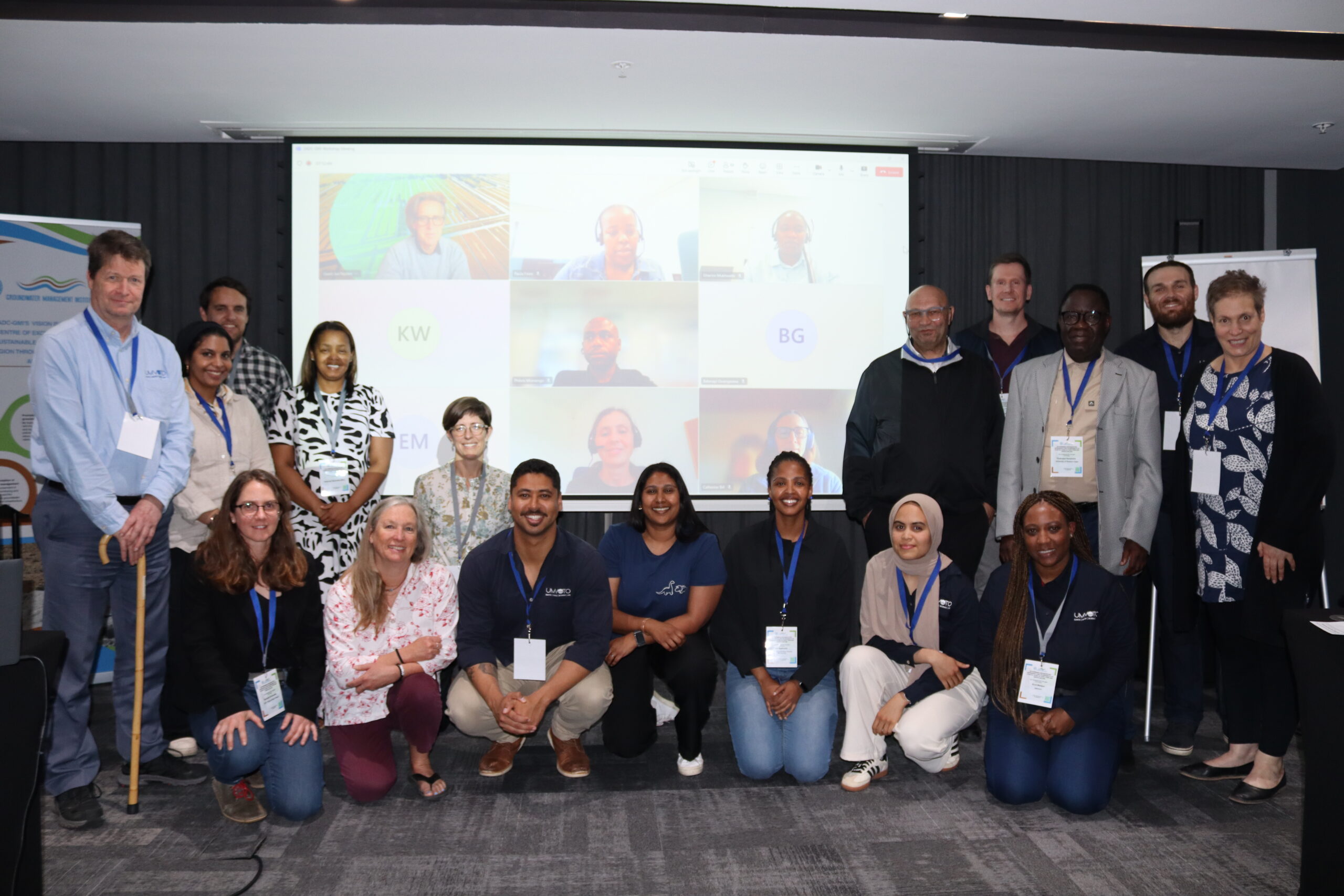
Umvoto is currently undertaking a project on determining groundwater dependency and vulnerability in coastal cities using Cape Town and Dar es Salaam as case studies. The project aims to develop a Conjunctive Management Strategic Action Plan for both cities, designed to build resilience to climate change and environmental stresses. These action plans will also guide other coastal cities facing similar challenges. Recently, Umvoto hosted a stakeholder workshop for the project to share progress and gather stakeholder feedback on the proposed strategic action plans.
Remote Sensing
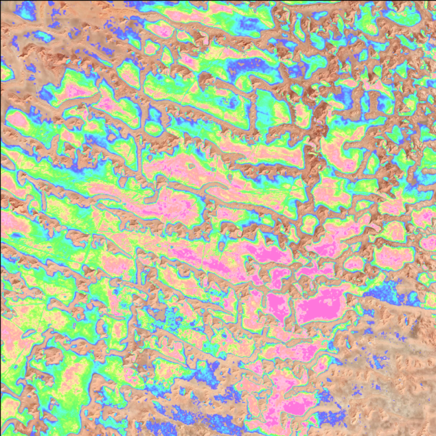
Umvoto’s GIS and remote sensing team advanced its spectral analysis capability through mineral mapping work in a Middle Eastern arid environment. Using multispectral and shortwave infrared satellite datasets, the team identified surface patterns associated with brine-related mineralisation and delineated key geochemical variations across a large dune-dominated landscape. This project strengthened Umvoto’s remote sensing workflows and demonstrated the value of targeted spectral techniques for understanding surface processes in complex desert settings.
Dido Valley Spring Hydrogeological Study
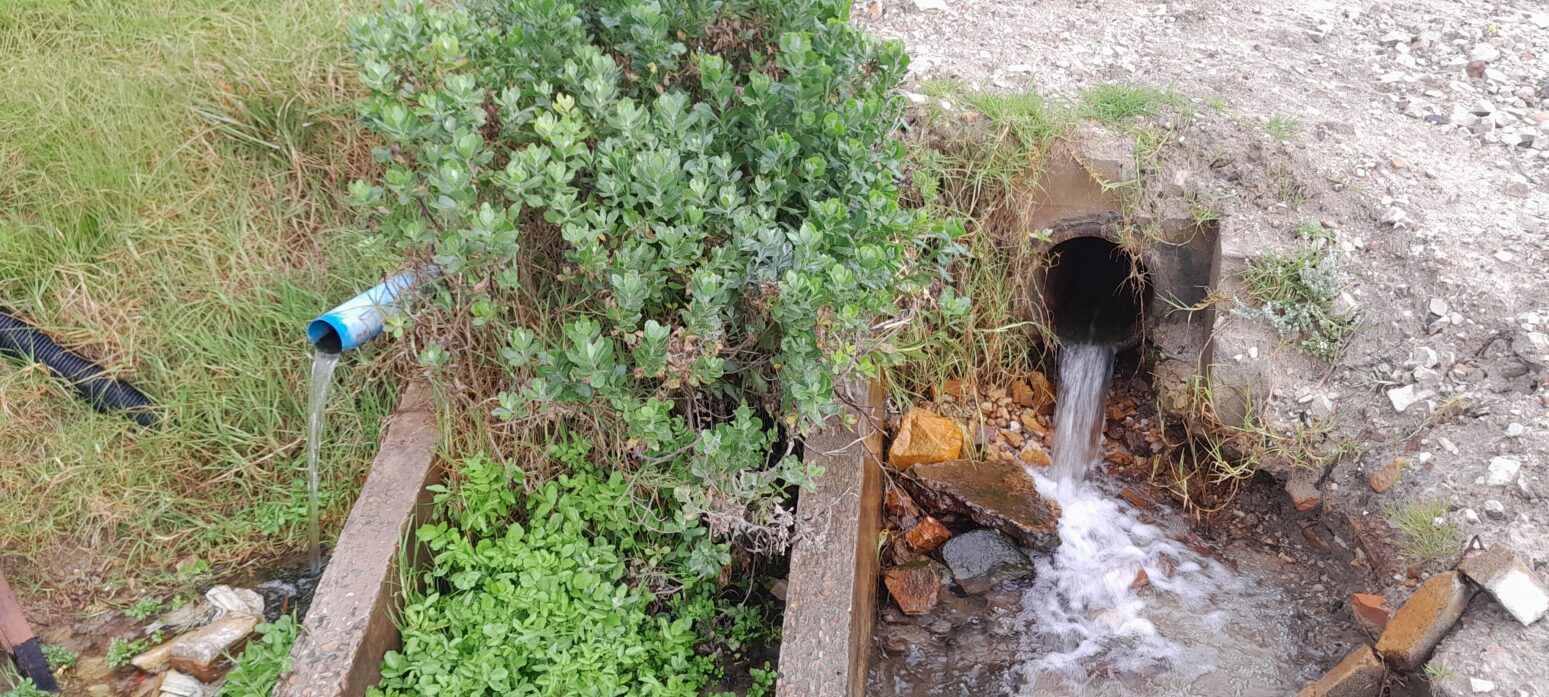
Umvoto was appointed by Zutari (on behalf of the Water Demand Management, Regulation and Planning Branch of the CCTs Water and Sanitation Directorate) to undertake a hydrogeological study of the Dido Valley Spring, comprised of two adjacent pipes (with different and distinct flow rates and water qualities) discharging water at surface on the southern side of Dido Valley Road within Dido Valley (between the CCT South Peninsula suburbs of Glencairn and Simon’s Town).
The aims of the hydrogeological study were to determine whether the “spring” source was groundwater discharge or leaking water reticulation infrastructure, and in the event of a groundwater source, to characterise and determine the feasibility of non-potable use of the spring. Source investigation and characterisation of the Dido Valley Spring was undertaken through a historical literature review (with the Simon’s Town and Glencairn areas having a rich history of spring water use), remote/field-based geological/lineament mapping, surrounding groundwater user hydrocensus, electrical resistivity tomography surveying, weekly field-based flow rate and water quality measurements, and detailed hydrochemical analysis (including macrochemistry, microbiology, metals, hydrocarbons, pesticides, PFAS, and stable isotopes).
The study found that in addition to ~550 million years of geological processes, over 250 years of modern human history and development have influenced groundwater flow and discharge at surface in the Dido Valley, but despite the latter this urban hydrogeological spring system is still suitable for non-potable use in terms of yield and quality.

Agricultural Sector
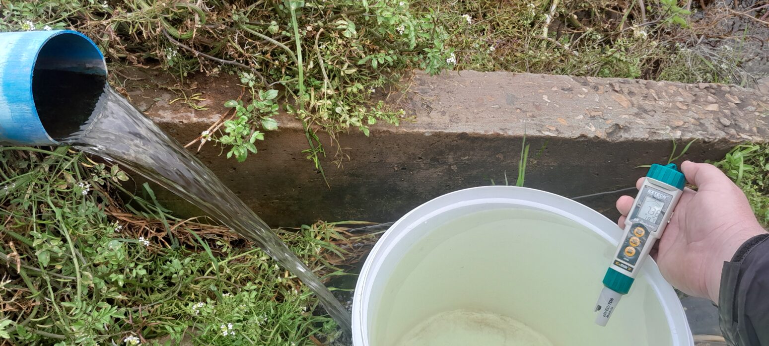
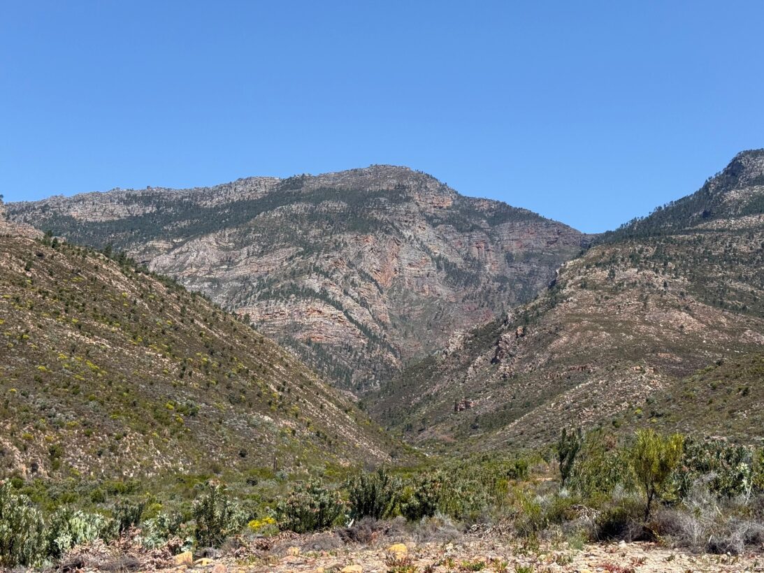
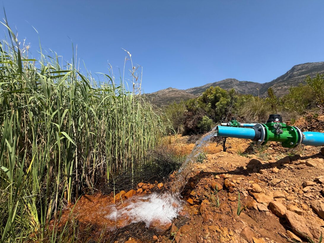
Umvoto’s reputation for providing accurate, ethical groundwater consultation services is certainly spreading through the Western Cape Province. 2025 saw continued progress developing Umvoto’s agricultural sector project portfolio. These included groundwater assessments and borehole siting, groundwater development (drilling and testing and, where required, equipping) and WULs at various farms in the Franschhoek, Robertson, Calitzdorp, Piketberg, Klapmuts, Hemel en Aarde, and Sandveld regions.
Compliance
Wildevoëlvlei Wastewater Treatment Works
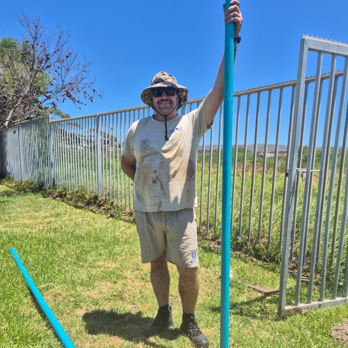
Umvoto has built a good track record at ensuring that our clients maintain compliance with their respective WULs. This trust in our services assisted in Umvoto being appointed to provide compliance monitoring services to Zutari and the CCT for the expansion of the Wildevoëlvlei Waste Water Treatment Works.
Residential, Commercial and Industrial Sectors
Some of the work undertaken by Umvoto in 2025 in the residential/commercial/industrial sectors includes:
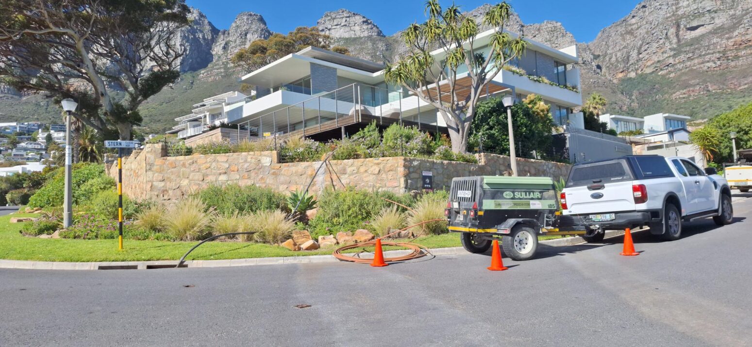
- Groundwater development (including Section 21(a) WUL applications) for school, commercial/industrial, housing and hospital developments, and continued groundwater monitoring at mines, estates, retirement villages, industries and developments in the greater Cape Town region.
- Residential water supply for housing developments, retirement villages and existing estates in the greater Cape Town, West Coast, and Overstrand areas.
- Hydrogeological specialist studies and numerical groundwater flow and mass transport modelling for open pit mining in Namibia.
- Hydrogeological risk assessments for a proposed Waste to Energy (WtE) facility and fuel underground storage tanks (USTs) within various facilities in the greater Cape Town region.


Mining
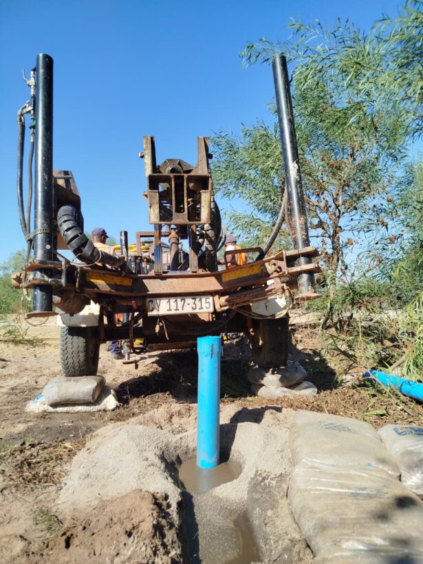
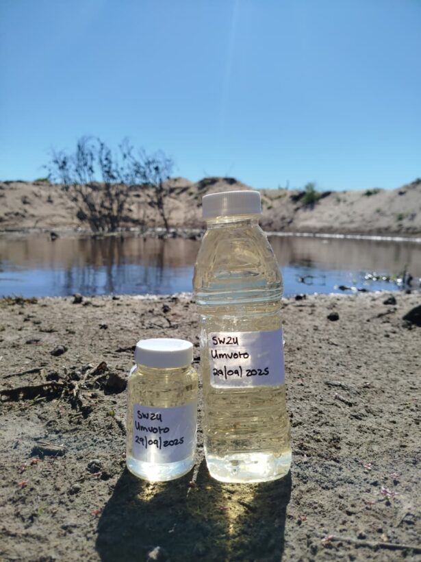
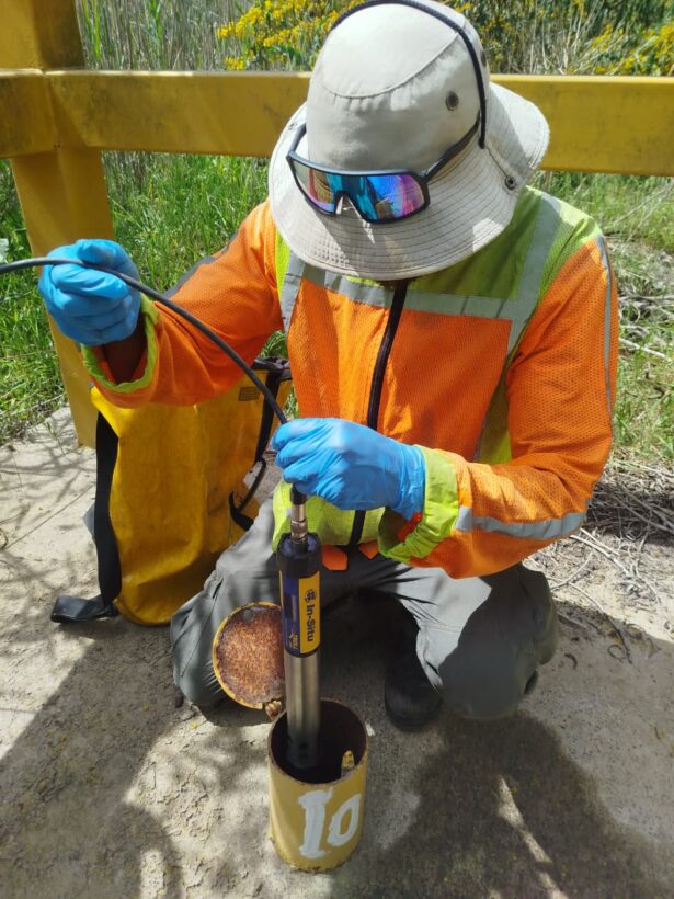
The last year saw Umvoto assist our clients in the mining sector in South Africa and internationally with routine groundwater monitoring, compliance audits, hydrogeological specialist and modelling input to Environmental and Social Impact Assessments (ESIA), and input to mine dewatering designs.
This is all in an effort to preserve and reduce the negative impacts associated with mining on the surrounding environment, both pre-emptively in the form of the ESIA and then to ensure that recommendations and operations abide to WUL conditions in the form of quarterly monitoring and annual audits.
GIS and Remote Sensing
In 2025, Umvoto’s GIS and remote sensing team played a pivotal role in the national refinement of the SWSA-gw. This project required an advanced geospatial approach, combining updated groundwater datasets, aquifer-specific parameters, multiscale terrain analysis, and expert spatial modelling to produce more accurate and hydrologically defensible delineations. Beyond the SWSA-gw work, the team continued to push the boundaries of remote sensing by applying multispectral, radar, and terrain-based techniques to a range of environmental and resource assessments. From mapping arid-zone landforms and identifying mineral resource indicators to supporting agricultural planning in data-scarce regions, the team demonstrated how advanced geospatial analytics can meaningfully inform sustainable development and groundwater resilience. This year’s work reflects Umvoto’s commitment to scientific excellence and the continual refinement of national-scale environmental decision-making tools.
The 1:500 000 national aquifer type layer was refined using the 1:250 000 geological dataset, aligning aquifer boundaries more closely with geological formations to improve delineation accuracy for the SWSA-gw.

New Service Offerings
Umvoto has added to its service offerings during 2025, upgrading data and technology outputs to improve what we can offer our clients.
DRONE
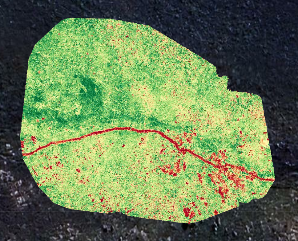
Umvoto expanded its aerial data acquisition capacity in 2025 through the establishment of a dedicated drone programme under the Integrated Aerial Systems Unmanned Aircraft Systems Operator Certificate with a South African Civil Aviation Authority-registered pilot and the addition of a DJI Mavic 3M multispectral drone, the team can now capture exceptionally high-resolution site context and detailed multispectral datasets that enhance both ecological and hydrogeological assessments. A cinematic field capture of Kim Parker and Andrea Hoppé illustrates the level of onsite precision and coordination involved in our drone surveys, while the accompanying wetland NDVI imagery demonstrates the power of multispectral analysis for monitoring vegetation condition, detecting subtle ecological stress, and understanding hydrological patterns. This capability has significantly strengthened Umvoto’s environmental monitoring workflows and broadened the geospatial insights supporting our groundwater and ecosystem projects.

SOIL MOISTURE PROBE
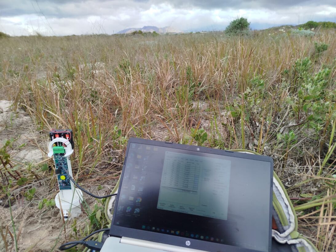
Umvoto incorporated a number of mobile Sentek soil moisture probes to support its ongoing wetland and surface-groundwater interaction assessments and monitoring. This data is crucial in understanding recharge processes, groundwater contribution to wetlands and any surface-groundwater interaction. Data from the probes is used in combination with drone and satellite imagery, groundwater levels and field-based assessments to provide holistic results to the agriculture and environmental sectors. Umvoto is also a distributor of Sentek products.
FRESHWATER AND BIODIVERSITY ASSESSMENT
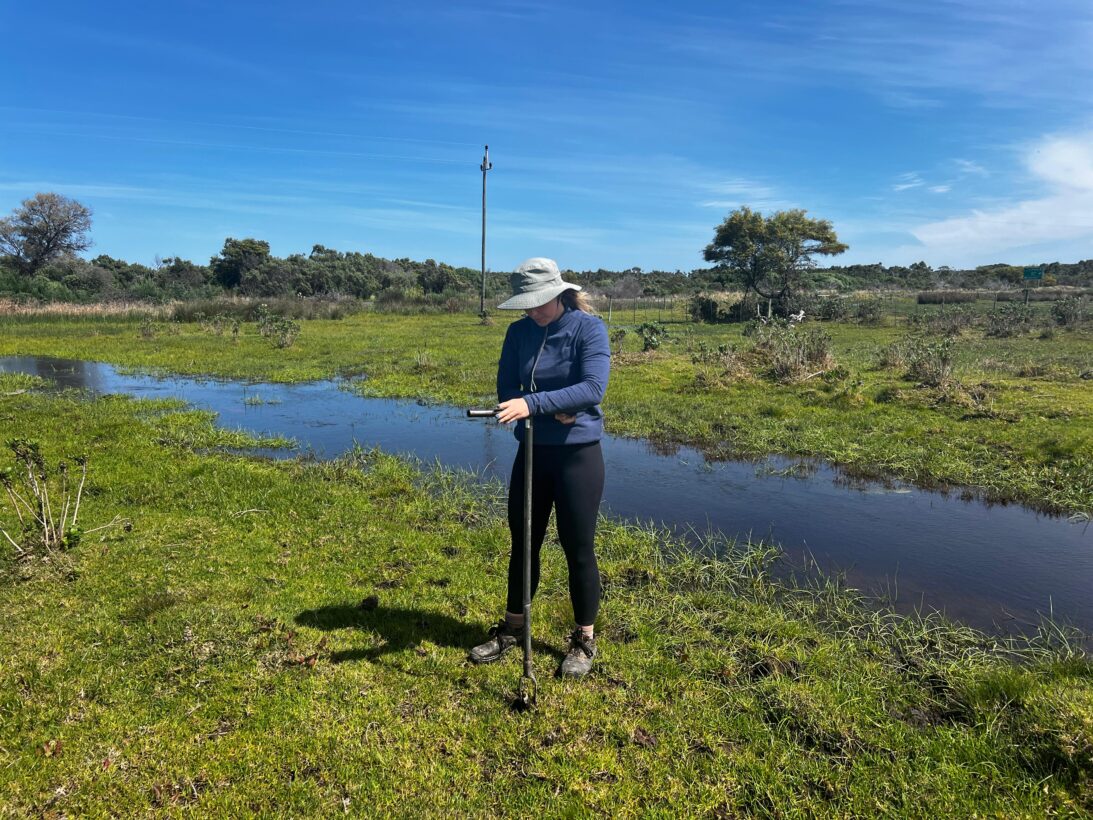
Umvoto’s environmental team has recently upskilled in freshwater assessments (including wetland assessments and SASS biomonitoring) and terrestrial biodiversity assessments, enabling us to deliver defensible compliance support and effective environmental monitoring and management. Freshwater and terrestrial biodiversity assessments help determine whether a proposed development activity (like abstraction, discharge, construction near a watercourse, etc.) will have an impact on aquatic and terrestrial ecosystems, particularly rivers, wetlands and Critical Biodiversity Areas. These services help clients meet regulatory obligations by evaluating the ecological condition and risk status of aquatic and terrestrial habitats within their licence areas, and by providing clear reporting aligned with current compliance frameworks.
UPGRADE OF MODELLING PROCESSING
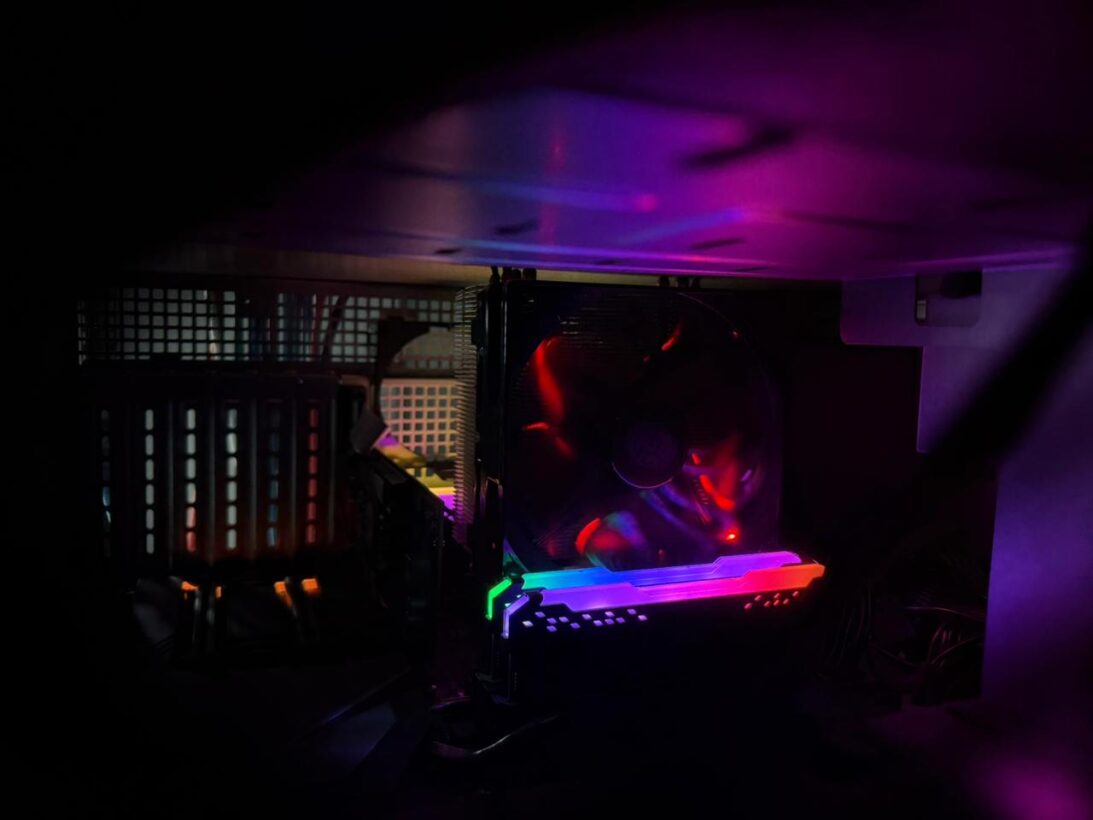
Umvoto is in the process of upgrading the High-Performance Computing Cluster to significantly increase processing speed, computational efficiency, and parallel performance for large complex numerical models. The new setup is built around a high-performance master PC supported by dedicated client PCs, enabling full parallelisation for demanding workflows such as large-scale model runs and calibration.
Overall, the upgraded infrastructure will allow the modelling department to process larger groundwater models, run more sophisticated calibration strategies, and significantly reduce processing times, ensuring our modelling environment remains fast, scalable, and future-ready. The system will also support large image and GIS data processing.